
Key takeaways
- Drones let breakwater crews survey the crest and armor without walking exposed rock.
- Repeat aerial surveys make change between storms easier to see and compare.
- Drones cover above-water surfaces, so sonar or divers still handle the part below the waterline.
- Wind, airspace and vessel access set the limits, so plan them during a site assessment.
How can drones for breakwaters help crews?
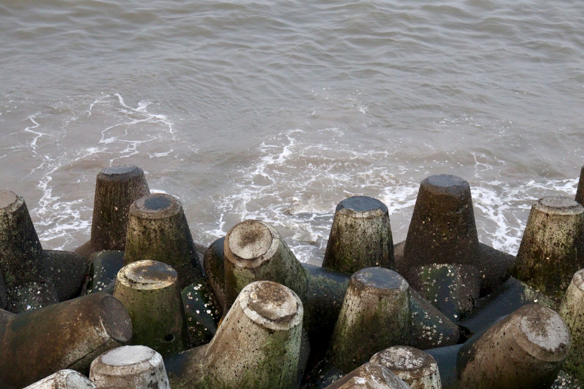
Drones for breakwaters give inspection crews a way to see the whole structure from the air, so they spend less time on exposed rock and in rough water. A breakwater is a long pile of armor stone or concrete units that takes wave energy for decades. Its crew needs to know the condition of the crest, the slopes and the armor, and an aerial survey captures that condition in one flight. The team then decides which spots need someone to walk out.
The research supports this use. Engineers and research labs in the United States, Portugal and New South Wales have used drones to map breakwater crests and armor. In one New South Wales study, the aerial imagery helped detect missing armor units on the crest. Drones do not replace hands-on inspection at every point. They move the most exposed part of the survey into the air and leave the judgment calls to people who know the structure.
We lease the drone through financing, deploy it on your site and train your staff to fly it and review the imagery.
What is the problem at breakwaters today?
Inspection of rubble-mound breakwaters has long depended on walking the crest and checking selected armor points by hand. According to LNEC researchers in Portugal, visual inspection has mostly covered the crest, with only selected armor points checked, and that practice can be unsafe in severe waves. Crews work on rock that is wet, sloped and slick, often right at the water's edge.
The age of the asset adds pressure. According to GAO's 2022 report (GAO-22-104304), many Corps coastal navigation structures were built over a century ago. Older stone and concrete need regular checks, and each check puts people back on the structure.
Spot checks also leave gaps. A walk along part of a long structure can miss developing damage on the far side, and a single visit cannot show how the armor has moved since the last storm. Crews end up relying on memory and photos taken on foot, which makes comparison harder than it should be.
What are the main benefits of drone surveys?
The biggest gain is safety. Crews stay on land or on a vessel while the drone flies the crest and slopes. The second gain is coverage. One flight records the full length of a structure, so the team sees patterns a walk would miss. The third gain is a shared record that the crew can compare from one survey to the next, which is where drones for breakwaters pay back the most over time.
The 2018 survey of two Hawaiian harbor breakwaters shows what a fast aerial survey can produce. The work was completed in June 2018, and its data were used to develop repair construction plans. According to the ICCE paper, the UAV LiDAR captured rock and concrete armor units well and suits rapid post-storm assessment.
In practice, the benefits show up in four places:
- Crew time on exposed rock shrinks to targeted spot checks.
- Full-length imagery gives one common reference for each storm season.
- Imagery can be processed into orthomosaics and surface models for measuring change.
- Repeat surveys can reveal early warning signs, such as the pre-ruin stage LNEC saw at a breakwater head in its 2018 data.
How does a drone work at a breakwater day to day?
A survey starts with a flight plan built around the structure's length and the sea state. In one LNEC study, flights ran at 50 meters altitude with 80 percent image overlap, which provides the overlap needed to build a usable model of the surface. The pilot flies the crest first, then the seaward and harbor-side slopes, keeping the drone clear of spray and gusts.
Wind is the main daily limit. In the Hawaiian survey, wind above 8 m/s in the afternoon was a constraint, so flights were planned around it. Each flight also needed coordination with the Army Aviation Engineering Directorate and the FAA. Your own airspace and wind windows will differ, so they are set during the site assessment.
Imagery goes back to the office, where the team builds orthomosaics and elevation models. LNEC surveyed one Portuguese breakwater in 2013, 2018 and 2022, which is how change becomes visible: a comparison across years, not a single snapshot. The ICCE paper reports about 3,000 points per square meter with 2 to 3 centimeter accuracy for one LiDAR dataset, which shows the level of detail a survey can reach.
Which areas of a breakwater does the drone cover?
A breakwater is not one surface. The crest, the armor slopes, the head and the landward root each need separate attention, and the drone covers every part that sits above the water. Flight planning for each area depends on its exposure, its access and how much the crew already knows about it.
The crest is usually the first pass because it is the walkway the crew uses every day. The seaward slope takes the full force of waves, so it gets the closest attention after storms. The harbor-side slope changes more slowly, which makes repeat flights especially useful there.
The head and the root complete the picture. The head takes the most wave energy at the end of the structure, and LNEC's 2018 data for a Portuguese breakwater showed a pre-ruin stage there. The root connects the structure to land and is quick to fly, which makes it a good reference point for the rest of the survey.
How do crews work alongside the drone?
The drone never works alone. A pilot and at least one crew member are on site for every flight, and a reviewer who knows the structure checks the imagery before it is filed. The crew decides which flagged spots need a closer look, and whether the next step is a walk, a diver or a vessel visit.
Crew size stays the same. The drone takes over the flying and the first pass of looking, so crew hours move from walking exposed rock to reviewing images and planning targeted checks. Your crew keeps the judgment, and the drone keeps people off the wettest rock during the survey itself.
What drives the savings in hours and labor?
Savings come from hours, not from cutting people. The main drivers are fewer crew hours spent on exposed rock during each survey, fewer trips to the water's edge when seas are rough, and a repeatable record that makes it quicker to decide whether a spot has changed.
The research we reviewed does not give a sourced hours range for a breakwater, so we do not offer one here. Your hours depend on the length of the structure, the wind days you lose and how often you fly. We measure those drivers during the site assessment, and the quote follows from that.
The effect is strongest after storms. A fast, full-length survey helps most when the crew needs to know quickly which armor units moved, and that is when the record from earlier flights is most valuable.
What can a drone not do at a breakwater?
A drone sees only what is above water. Armor units below the waterline, and the toe where stone meets the seabed, need sonar or diving. The New South Wales study paired drone footage with dual-scan sonar for underwater assessment for this reason.
Very long structures may still need vessel access or hauling equipment. In the Hawaiian survey, the outer crest of one long breakwater needed a vessel to carry the drone. Wind and airspace also limit flights, so some planned days will be lost.
A drone records condition, but it does not decide whether a repair is needed. Qualified engineers make that call. USACE uses multi-rotor drones on levees and dams to observe faces for cracks, which supports engineers rather than replacing them.
How do you get started?
Start with a free site assessment. We look at the structure's length, which zones matter most, the wind and airspace limits at your location, and where the crew needs to stand during flights. You receive a quote after that assessment.
The drone is leased through financing, and the payment comes in the quote. We deploy and integrate the drone, train your staff to fly and review imagery, and service it nationwide. A common first step is one survey program on the structure that gives the crew the most trouble after storms.
Frequently asked questions
Want a drone at your breakwater?
Tell us about your site. We will recommend the robot, quote the lease, and keep it serviced.
Sources
- ICCE conference paper on UAV LiDAR at Hawaiian breakwaters
- ICCE conference record, Hawaiian breakwater survey summary
- LNEC repository, rubble-mound breakwater drone studies
- LNEC flight parameters report
- Coastal engineering conference paper, New South Wales, 2022
- GAO-22-104304
- USACE unmanned aircraft system considerations