
The short answer
Drone ROI for sugarcane farms comes mainly from fewer hours spent walking blocks to find crop stress and stand gaps, with imagery sending field checks to the spots that need them. The savings are a range that depends on block size, how often each block is scouted, and how much of the walking the drone can take over, not a fixed figure. A free site assessment turns those inputs into a savings range for your farm and a lease quote.
Key takeaways
- Drone ROI for sugarcane farms rests on large, uniform blocks that are scouted often.
- The drone takes over part of the walking, and a person still confirms causes on the ground.
- The calculator prices the walking hours on the government wage data shown beside this text.
- The lease quote arrives after a free site assessment, and the savings range has to clear it.
- Log your own scouting hours before you trust any range, including this one.
Run the numbers for your site
Pick your city or state for a real regional number - we use the real BLS wage there. (On the live site this auto-detects from your location.)
What do you want to automate?
The unit runs the repetitive patrol and watch; guards handle the judgment calls.
What does drone ROI for sugarcane farms actually mean?
Drone ROI for sugarcane farms is mostly a labor and timing return. A drone covers a block from the air in a fraction of the time a person needs to walk it, and the imagery shows which spots deserve a field check. The return is clearest on many acres of uniform cane, where a small team cannot walk every block often enough to catch stress early.
The return is weak on small or irregular blocks, or where a crew already walks each block every day for other work. Savings appear on this page as a range built from the inputs you enter in the calculator. A free site assessment narrows that range to your farm, and nothing on this page promises a set saving.
Why is scouting sugarcane on foot so hard to keep up?
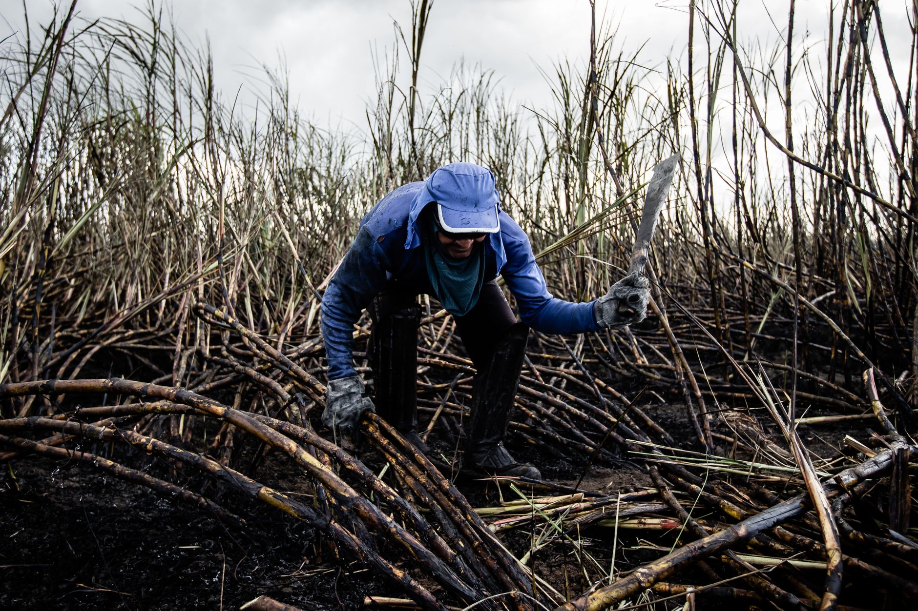
Sugarcane farming has been consolidating. According to a Texas A&M analysis of USDA NASS data, sugarcane farms fell from 1,079 in 1997 to 745 in 2022, about 31 percent. Louisiana dropped from 705 to 420 farms over the same span, while Florida's count rose. Harvested acres held up at 913,738 in 2022, against 890,193 in 1997, so the same area now sits on fewer farms and each farm carries more ground to scout.
A 2016 study published by MDPI described crop scouting as slow and labor and time intensive, which is the constraint a drone is meant to ease. We found no published scouting headcount for sugarcane. The typical headcount on this page, 8, comes from an eight-person hand planting crew described in a Florida extension-style guide, so it is a planting figure. Confirm it against your own crew before you rely on it.
Median hourly wage, Security Guards
$4,317
Monthly cost of one full-time worker, at the median wage plus payroll costs (an estimate, not a quote).
Where does the return come from in sugarcane scouting?
Three things produce the return. The first is fewer walking hours on blocks that only need a look for stress or gaps. The second is targeting: imagery flags the patches worth walking, such as freeze damage or thin stands, so field checks go where they matter. The third is reach, because LSU AgCenter extension agents have cited drones for checking tall, maturing cane for disease and nitrogen shortfalls where walking is hard.
LSU AgCenter material includes an aerial photo of freeze damage in a sugarcane field. It does not publish time saved, so the hour math on this page depends on your own logs rather than a published benchmark. The gains should be largest on flat, even blocks and smallest where walking is quick and the rows are short.
How does the savings math work for sugarcane scouting?
The labor side is the hours of patrol style walking and checking that the drone takes over each week, multiplied by the share of that work it realistically handles. Not all scouting can be replaced, because the drone sees canopy and surface patterns while a person still confirms causes on the ground. The calculator prices those hours on the government wage data for security guards shown beside this text, since walking an area and checking it for problems is the closest work in the model. Your field scouts are a separate job, so their pay is not priced here.
Lease cost sits on the other side of the math. The lease payment is quoted after a site assessment and depends on the aircraft, the financing term, and the service plan. The savings range has to clear that quote, along with staff time for flight planning and imagery review, before the return is real. Hours removed from the walking do not pay the lease if nobody acts on the imagery.
What changes the sugarcane drone return up or down?
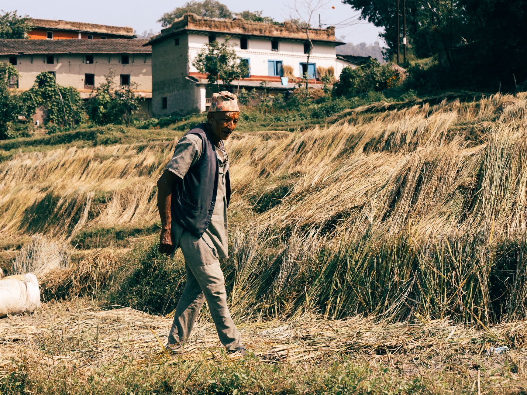
Block size and uniformity matter most. Large, even blocks give the drone long straight passes and few stops. Small or broken blocks add turns, battery swaps, and setup, which trims the hours the drone takes over. Crop height and canopy closure change how clear the view is, and weather decides how much of each block can be flown in a day.
Scouting frequency is the second driver. A block checked once a season gives a small return, while a block checked every week repeats the saving each time. The number also moves with the labor rate used in the calculator, the share of work the drone takes, and whether the imagery actually reduces wasted walks.
How common are drones on farms today?
Adoption is growing but still a minority practice. About 22 percent of surveyed Iowa farmers used a drone or a drone service provider, according to the Iowa Farm and Rural Life Poll as reported by Farm Progress. One article dates that figure to 2024 while calling it the 2025 poll, so check the year before you quote it. Iowa State Extension reports that 51 percent of that access came through drone service providers, which matters if you plan to hire the flying out rather than run it in house.
A survey titled Farmer Perceptions of Agricultural Drones, fielded in the third quarter of 2025 with 261 large full time U.S. row crop farmers and sponsored by industry firms, found more than 67 percent do not use drones of any type, according to the Oklahoma Farm Report. Among those already flying, 89 percent use multi-rotor drones. The sample is not representative of all U.S. farms, so read it as a direction rather than a rate.
- Coverage speed
Drone
Covers a block from the air in a fraction of the walking time
Staff
Slower, but walks every row
- Close inspection
Drone
Shows canopy and patch patterns, not individual stalks
Staff
Inspects stalks, pests and soil up close
- Weather and light
Drone
Limited by wind, rain and flight windows
Staff
Works in most conditions, though heat and rough ground carry their own risk
- Repeatability
Drone
Same route on each flight, with imagery archived for comparison
Staff
Route varies with each scout and their memory
- Cause finding
Drone
Flags an area but not its cause
Staff
Confirms the cause on the ground
- Cost structure
Drone
Lease quoted after assessment, plus staff time for flights and data
Staff
Wages and hours already in payroll
What are the risks to the return, and how do you avoid them?
The biggest risk is imagery nobody acts on. If the flags sit in a folder, the walks do not drop and the lease carries no offset. Set a rule for who reviews each flight, how fast flagged spots get checked, and how findings feed the field plan. Weather is the second risk, since wind and rain cut flight days. Build the scouting calendar around flyable windows rather than a fixed weekly date.
Safety is the third risk, and a drone does not remove it. The farming, fishing and forestry occupation group recorded about 22 fatal injuries per 100,000 workers in 2024, according to Statista citing BLS data published in February 2026. No published figure isolates sugarcane scouting, so the drone reduces some walking on rough ground while adding flight operations. Commercial flights need a certified pilot and compliance with federal operating rules, so confirm credentials before the first flight.
How long does it take to reach payback?
A realistic path runs through five phases: a site assessment with block mapping, a flight plan with pilot training, a pilot on a few blocks, a measured comparison of walking hours and field check hits, and then full rollout. The length of each phase depends on acreage, crop stage, and how quickly your team reviews imagery, so the schedule comes out of the assessment rather than a standard template.
Payback arrives when measured hours offset the lease cost plus staff time for flights and data review. Measure during the pilot rather than trusting a projection. A pilot on a few blocks tests the assumptions that move the number most: flight time, the share of walking taken over, and how often flags lead to a real field action.
How do I get an exact figure from a free site assessment?
A free site assessment turns the range into your figure. We walk the operation, map the blocks and acreage, note crop stage and the scouting calendar, and collect whatever scouting hours your crew already logs. We also check terrain, field access, and flight limits, then choose the aircraft and the workflow that fit the farm.
You leave with a savings range built on your inputs and a lease quote with the financing term and service plan stated. We handle deployment, train the staff who fly and review imagery, and service the equipment nationwide, with on-site dispatch and remote triage when something fails. Bring last season's scouting hours and a block map, and the range gets tighter.
Frequently asked questions
Want a drone at your sugarcane farm?
Tell us about your site. We will recommend the robot, quote the lease, and keep it serviced.
Sources
- US Bureau of Labor Statistics, Occupational Employment and Wage Statistics (OEWS May 2024)
- Texas A&M analysis of USDA NASS data
- Farm Progress, Iowa Farm and Rural Life Poll coverage
- Oklahoma Farm Report, Farmer Perceptions of Agricultural Drones survey
- MDPI study on crop scouting and stress detection, 2016
- LSU AgCenter, sugarcane and AI imagery coverage
- Cane Farming in Florida, ATE Central extension-style guide
- Statista chart citing BLS fatal injury data