
The short answer
Drone ROI for stormwater ponds comes mainly from fewer hours spent walking steep, wet embankments and outfalls, not from fewer people. In an IECA report on construction-site inspections in Wake County, NC, drones saved an average of 38.46 percent of the time, so pond work should expect a share of routine hours, not a fixed saving. Your own range depends on pond count, bank access and inspection frequency, and it becomes a precise figure after a free site assessment.
Key takeaways
- Most of the return is embankment walking hours that a drone takes over, not a change in headcount.
- One measured construction-site study found a 38.46 percent average time saving, a useful order of magnitude rather than a promise.
- Inspection frequency and pond count move the number more than the flight itself.
- Weather, bank soil, topography and pilot certification are the main threats to the return.
- The lease payment is quoted after a free site assessment, and the savings range is built from your own pond list.
Run the numbers for your site
Pick your city or state for a real regional number - we use the real BLS wage there. (On the live site this auto-detects from your location.)
What do you want to automate?
The unit runs the repetitive patrol and watch; guards handle the judgment calls.
Drone ROI for stormwater ponds: what the return looks like
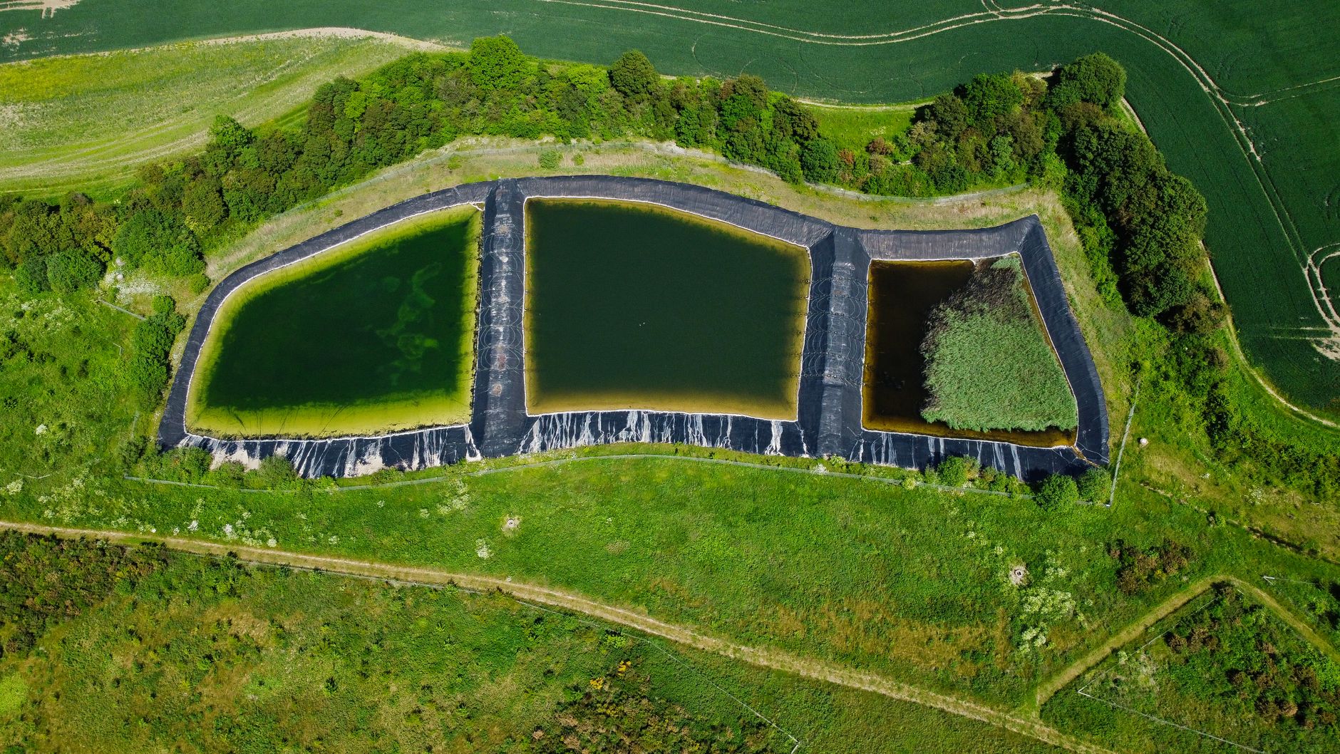
Stormwater ponds are dull to inspect and hard to reach. Retention and detention ponds sit at the low point of a site, with steep wet banks, outfall pipes that need checking after storms, and sediment that builds up near the inlet. A drone can fly the embankment and outfalls on a fixed schedule and return photos and maps that someone can review at a desk. That is where the drone ROI for stormwater ponds starts.
The return is a share of routine inspection hours. It is not a claim that a drone removes the need for people. The person signing off on this decision needs three numbers: the hours today's walk takes per cycle, how many cycles the local program requires, and the share of that work a drone realistically does. This page shows how each one is set and where it can go wrong.
Why do stormwater ponds take so many inspection hours?
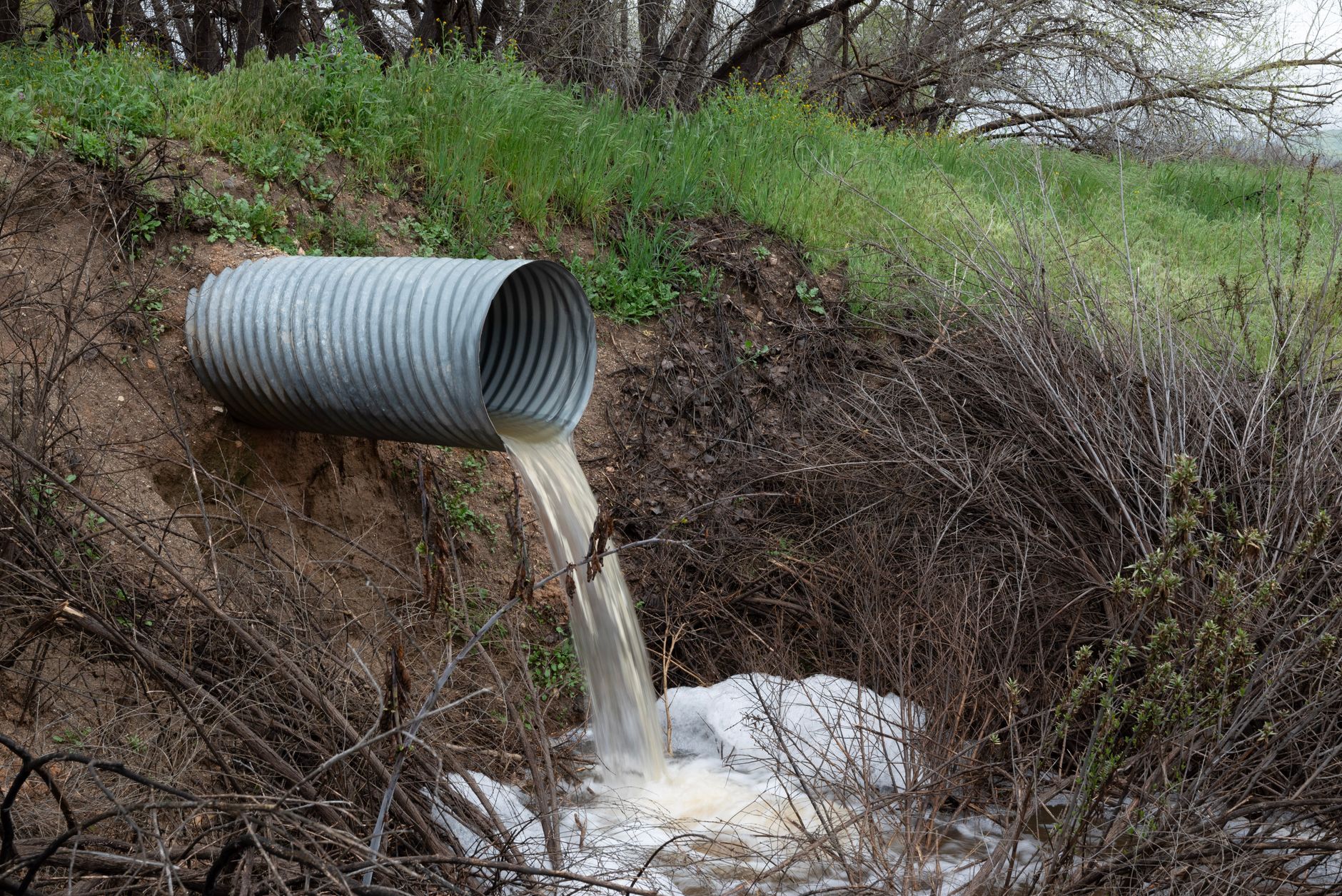
Inspection frequency is set by local rules. Sioux City, Iowa requires at least an annual inspection of detention and retention ponds to document maintenance and repair needs, according to the city's stormwater reporting page. Many programs add extra visits after storms or complaints, and each visit repeats the walk along the bank.
The count of ponds is large and hard to pin down. A Frontiers in Environmental Science article reports 2,729 North Carolina sites using detention ponds, and it notes that a site can hold more than one pond, so the pond count runs higher than the site count. The Wisconsin DNR lists 245 MS4 permittees, the local entities that must manage stormwater discharges, as of its June 2024 update. Each permittee can own many ponds, so the hours add up across a portfolio.
Median hourly wage, Security Guards
$4,317
Monthly cost of one full-time worker, at the median wage plus payroll costs (an estimate, not a quote).
Where does the drone return come from in pond work?
The return comes from walking time avoided, faster data capture and a steadier record over time. According to an IECA summary of state DOT drone programs, stormwater best management practice inspection can be labor intensive, and DOT programs vary widely in how they handle it. Some state DOTs fly UAS inspections of stormwater practices at least once every six weeks and store the imagery in a cloud platform, which gives a dated record of erosion and vegetation change.
Time savings are measured, not just assumed. In the IECA report on construction-site inspections in Wake County, NC, drones across 15 field and drone inspections at five sites saved an average of 38.46 percent of the time, and the smallest site saw 13.8 percent. The authors call the sample small and say soil color and topography may matter, so a pond with dark, bare banks or steep grades may land nearer the low end.
How does the ROI calculator math work for a pond?
The calculator multiplies four inputs. The first is the labor hours your team spends walking ponds and banks per inspection cycle. The second is the number of cycles per year across the pond portfolio. The third is the share of those hours a drone realistically takes over, which is well below 100 percent because a person still reviews data, handles storm follow up and checks what the camera cannot see. The fourth is the hours priced at the government wage data on this page for Security Guards, the wage the savings figure is built on for field patrol and inspection time.
From that gross figure, the calculator subtracts the lease payment and the staff time spent on flight planning, data review and upkeep. The result is a savings range, not a point figure. The fixed lease payment is quoted after a free site assessment, because the aircraft, flight count, pond list and service level all change it. The calculator assumes one pilot per cycle, and no source we found gives typical staffing for pond inspection, so confirm the crew size during the assessment.
How many hours does a drone save on the embankment?
Walking time is the clearest saving. A Burns McD blog post on drones for stormwater MS4 compliance estimates that a drone needed about one hour on site for flight and footage, while three to four hours of walking would cover the same roughly 15 acres in a Grandview, Missouri park. The author made that estimate, and the site was a park rather than a pond, so treat it as an order of magnitude check, not a measured result.
Pond work has the same shape with extra steps. Expect pre-flight checks, a flight plan that avoids outfall structures and overhead lines, and desk review of the imagery. Those steps are real labor, and they are why the share of work the drone takes is set honestly rather than at 100 percent. Put them on the list before comparing with today's walk.
Does a drone reduce injury risk on wet embankments?
The injury case is strong, although the exact rate depends on the source. Reliamag, in a secondary analysis based on BLS data, reports 239 deaths among grounds maintenance workers in 2024, up from 226 in 2023, and a rate of 20.9 per 100,000, more than six times the all-worker rate of 3.3. A separate BLS chart lists a much lower rate for the same occupation, so treat the rate as directional and check the official table before a board report.
The causes named in that analysis are transportation incidents, falls and contact with heavy equipment, with heat exposure a growing source. Wet, steep banks raise the risk of slips and falls, and a crew that walks the bank in storm season carries that exposure every cycle. A drone removes the routine walk, but it does not replace a person for a serious problem, so keep crews out of unsafe banks and use the drone for the routine look.
What are the risks to the return, and how do you avoid them?
The biggest risk is flying less than the schedule needs. A drone flown once a year to tick a box saves little, while one flown on the regular cycle saves hours every cycle. Set the cycle in the lease quote before signing. Weather is the second risk, since wind, rain and low light cut flight days, so build the schedule with spare days. The third risk is certification. Commercial flights generally need a Part 107 remote pilot certificate and must follow airspace rules, so confirm the pilot's credential before the first flight.
The fourth risk is data without a workflow. Imagery that sits in a folder saves no time. Agree who reviews each set, what counts as a change, and where the photos are stored, then compare each cycle with the last. The fifth risk is scope creep. Keep the pond list and access notes up to date so the calculator's inputs match what the drone actually covers, and do not treat the drone as a replacement for storm response staff.
What are the common myths about drone pond inspection?
Several myths come up in sign-off meetings, and each one changes the number. Clearing them up before the decision keeps the savings range honest and keeps expectations in line with what the drone does well.
How long until a drone pays back?
A realistic timeline has four stages. Free site assessment and pond mapping come first, and their length depends on how many ponds and outfalls are on the list. The lease quote follows the assessment. Deployment, pilot training and the first flights come next, then a go live period in which the team compares drone imagery with their own walk. Payback is measured over the cycles that follow.
Payback is not a fixed date. It depends on the lease term, the share of hours taken over and how many ponds the drone covers. A site with frequent cycles usually reaches payback sooner than one with a single annual inspection. Ask for the range at three levels, low, expected and high, and check the low case first, because it shows whether the decision still holds when the drone covers less than planned.
How do you get a precise figure from a free site assessment?
We are a US commercial robot integrator. We pick the aerial platform that suits the site, lease it through financing, deploy and integrate it into your inspection workflow, train your staff, and service it nationwide. One partner handles the aircraft, the pilot training and the repairs, so the people reviewing the data have one contact.
The free site assessment maps your ponds and outfalls, counts inspections per year, records bank access and overhead hazards, and sets the share of work a drone takes. That produces a precise savings range and a fixed lease payment quote. Bring your pond list, last year's inspection reports and your storm response schedule. The quote is set after the assessment, not before.
Frequently asked questions
Want a drone at your stormwater pond?
Tell us about your site. We will recommend the robot, quote the lease, and keep it serviced.
Sources
- US Bureau of Labor Statistics, Occupational Employment and Wage Statistics (OEWS May 2024)
- IECA summary of state DOT UAS stormwater inspection programs
- IECA report on construction-site drone inspections, Wake County NC
- City of Sioux City, IA stormwater pond reporting
- Frontiers in Environmental Science, North Carolina detention pond study
- Wisconsin DNR MS4 permits
- Reliamag, maintenance worker injury and fatality statistics
- Burns McD blog, drones for stormwater MS4 compliance