
The short answer
Drone ROI for mining sites comes mainly from stockpile and pit volume surveys flown without a crew on the piles, where capture work that a vendor reports takes a licensed surveyor one to two days on site can drop to a flight under an hour. Those timings are vendor-reported and should be checked on your own piles. The savings range depends on how often each pile is surveyed and how much of that work the drone can take, and a free site assessment sets the range precisely before any lease quote.
Key takeaways
- Stockpile and pit volume surveys are the clearest source of drone return at mining sites.
- Vendor-reported timings put a licensed surveyor at one to two days on site against a flight under an hour.
- The calculator prices drone hours against the government wage data on this page for security guard type work.
- Accuracy has to be checked against ground points before saved hours count toward contract volumes.
- Lease cost comes in a quote after a free site assessment, and the savings range tightens from there.
Run the numbers for your site
Pick your city or state for a real regional number - we use the real BLS wage there. (On the live site this auto-detects from your location.)
What do you want to automate?
The unit runs the repetitive patrol and watch; guards handle the judgment calls.
What is drone ROI for mining sites?
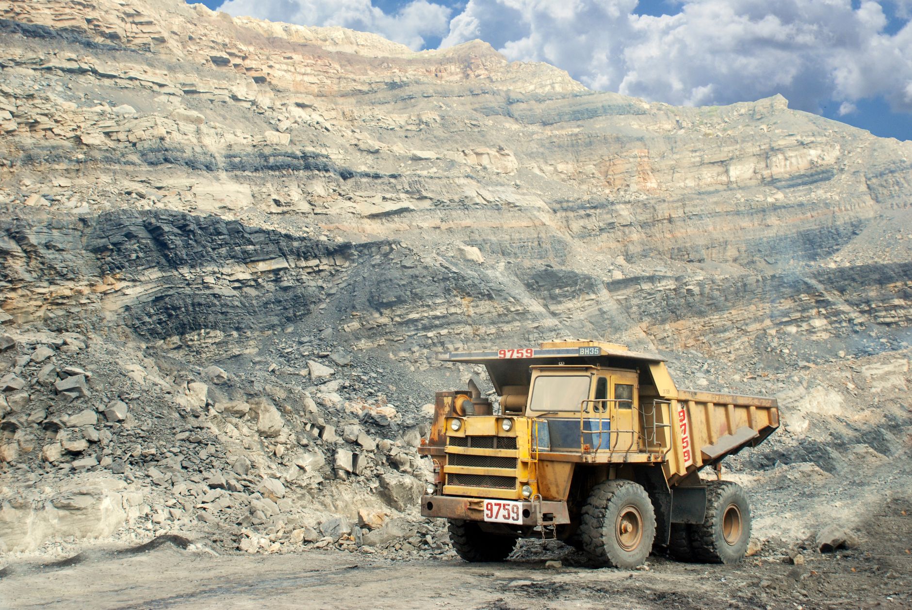
Drone ROI for mining sites is the return a mine, quarry or aggregate operation gets when a drone takes over work that people otherwise do on foot or by vehicle. In this setting the main case is stockpile and pit volume surveys flown without a crew on the piles. The return shows up as fewer survey hours, faster volume data, and fewer people walking pile faces and benches to take measurements.
Scale matters before any numbers. According to NIOSH data from MSHA, there were 12,616 active mines in the United States in 2023, including 4,286 stone operators and 6,198 sand and gravel operators. NIOSH counts a mine as active if it reported any employee hours during the year, so the count includes small operations as well as large pits.
The calculator on this page is already filled in for this industry and shows a savings range. That range is an estimate built from a few inputs you can check, not a promise. The sections below explain each input so you can judge whether the range fits your sites.
Where does the return come from at a mining site?
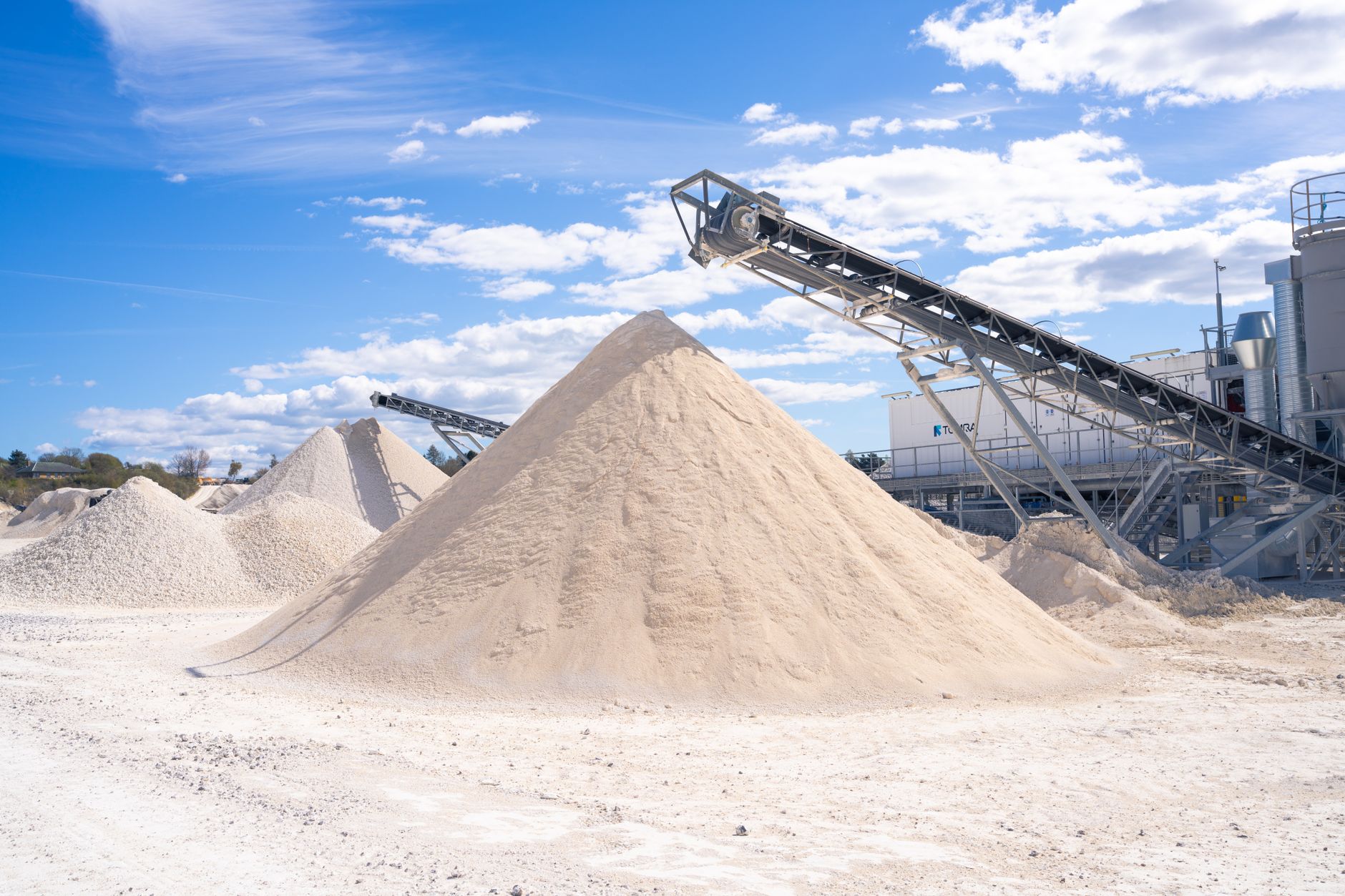
The clearest return is stockpile volume work. A stockpile volume is calculated by comparing a surface model of the pile with a baseline, and the quality of that comparison depends on how completely the terrain is captured. Traditionally a surveyor walks or drives the pile and pit, shoots points, and reduces field notes to a volume. Each pass pulls people onto the pile and its edges for part of a shift or longer.
A drone takes over the capture step. The flight is short, and nobody stands on the pile while the aerial images are collected. According to a vendor blog on manual versus drone stockpile surveys, a licensed surveyor may need one to two days on site for a stockpile survey, while a drone flight takes under an hour and a finished report arrives within 24 hours. Treat those as vendor claims to check on your own piles.
The labor side of the calculator uses the wage of security guard type work, and the government wage data on this page sets that rate. So the hours the calculator counts are the hours of that kind of work the drone takes off the ground and the edges, such as watching and patrolling the piles. Survey crew time is real and is discussed here as hours, but the calculator does not price it at a surveyor rate.
Median hourly wage, Security Guards
$4,317
Monthly cost of one full-time worker, at the median wage plus payroll costs (an estimate, not a quote).
- Coverage per trip
Drone
One flight can cover large areas, as the vendor and academic timings show
Staff
Covers a pile in passes, and slows down on large or irregular areas
- Repeat surveys on the same plan
Drone
Flies the same plan each cycle, so the comparison stays consistent
Staff
Can repeat the method, but each repeat pulls the crew back onto the pile
- Reading unusual material or a suspect face
Drone
Captures images and terrain but does not judge what they show
Staff
Can inspect a specific spot, read the material and decide on the spot
- Weather and daylight
Drone
Needs flyable conditions and planned flight windows
Staff
Can change plans on the day, within the limits of site safety rules
- Sign-off on contract volumes
Drone
Produces the data, but a named reviewer still signs
Staff
Signs the report and carries accountability for it
How long does a stockpile survey take by hand versus by drone?
Published timings differ in method and scope, so compare them carefully. A 2018 study by Singh, cited in a 2022 journal article on drone mapping, found a drone mapped a 100-hectare site in 40 to 120 minutes, while traditional land surveying took hours. Mapping is one step in the workflow, so the total time to a usable volume figure is longer than the flight.
A Malaysian university project reported that a drone can measure up to 100 hectares in half a day compared with traditional methods, which points the same way. One producer reported its capture time fell from about four hours to about one, with processed data back within 24 hours, according to the vendor blog. Those are reported figures, not independently verified for a typical mine. In one West Virginia department case, reported in a vendor article, seven drone pilots worked nine workdays on a single workload, so crew size varies with the job.
Field time is where the crew is most exposed to the pile, and it is where a drone changes the schedule most. A survey that once needed a crew for one or two days becomes a flight the planner can request in the same week. That scheduling effect does not show up in an hours count, so track it separately during the pilot.
How does the ROI math work?
The calculator follows four steps for every site, which is what makes drone ROI for mining sites comparable across your piles. First it counts the survey and watch hours the drone would replace over a year. Second it applies the realistic share of that work the drone can take, since a drone takes flights and data capture, not every step of a survey. Third it prices those hours against the government wage data on this page for security guard type work. Fourth it subtracts the lease cost and the staff time needed to run the drone, and shows the result as a range.
The share matters most. If a crew still reviews every surface model, checks the flight plan and signs the volume report, those hours stay with people and the offset gets smaller. A sensible starting share covers flight and capture, and adds processing only if your team does it in house. Ask for the share to be shown as an input, so you can test a low case and a high case side by side.
The lease is quoted after a free site assessment, and the quote covers the lease itself, deployment, staff training and nationwide service. This page does not show that figure, because a quote built from one site's piles would not carry over to another. Use the savings range as a planning estimate, then replace it with the quote once the assessment is done.
What changes the number up or down?
Four things move the range most: how often each pile is surveyed, how many piles and pits the site runs, how the survey crew is scheduled, and how many survey steps stay with people. More frequent surveys raise the offset, because the same field work is repeated each cycle. A site with many separate piles often has more repeated passes than a single large pit, so the offset tends to be larger.
Other items push the range down. Weather and airspace planning limit how many flights happen, and fewer flights mean less offset. If reports still take days to reach the planner, the time saved on the pile does not reach the schedule. Crew size also varies by job, so the hours used in the calculator must come from your own crew, not from a generic count.
The checklist below lists what to pull together before the assessment.
How accurate are drone volumes next to ground surveys?
Accuracy decides whether the saved hours count. According to an industry case study from a drone vendor and a chemicals producer, reported in a vendor blog, the drone recorded a 1.37 percent difference in stockpile volume compared with ground-based surveying. The same case reported a 127 percent increase in elevation accuracy, using 9.5 million drone points against 360 ground points. Both figures are vendor-reported, not an independent audit.
The practical reading is that drones earn their return fastest on repeat surveys, once the ground comparison is set up. Ground points still matter for the first baseline, and a periodic ground check keeps the method honest. Ask how the drone result will be checked against ground control before anyone trusts the report for contract volumes.
Accuracy also shapes who signs. A volume report that feeds a royalty or a contract needs a named reviewer, and that reviewer's hours belong in the staff time line of the calculator.
What are the risks to the return and how do you avoid them?
The first risk is that the drone saves field time but the report is slow, so the planner still waits. Set a target for report delivery and measure it from the first flight. The second risk is that the flight plan drifts from the piles it was made for, which weakens volume comparisons. Keep flight plans fixed for each pile and log every change.
Safety is the other side of the case. According to the Department of Labor release on MSHA data, the all-injury rate for mining was 1.74 per 200,000 hours worked in 2025, down from 1.82 the year before. According to mining trade news reporting MSHA data, there were 33 mining fatalities in 2025. Fewer people on pile edges is a real reason to survey by air, but the return should be built on hours and accuracy, not on safety alone.
The third risk is a poor fit with conditions. Flights depend on weather, airspace and site access, and a plan that ignores them loses the offset. Build flight windows into the schedule, and treat a missed flight as a planned gap, not a failure of the method.
How common are drones at mining operations today?
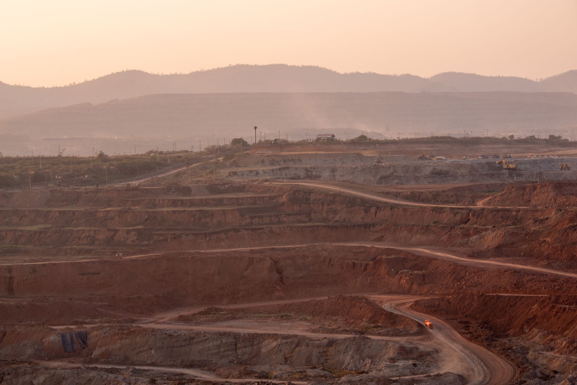
Adoption is broad, though the figures come from different years and methods. According to a 2022 industry survey reported by a trade publication, 83 percent of mining drone users use them for surveying and mapping, and 68 percent for monitoring and inspection. The same material reports that about 70 percent of large mining companies have started using drones since 2016.
Survey respondents also name the problem this page addresses. A market research firm reports, in the same trade article, that 42 percent of respondents cite managing stockpiles as challenging because of their height, area and frequent change. That measures a challenge rather than adoption, but it shows where the case for drone surveys is easiest to make.
The workforce context affects the labor side. According to the BLS Employment Situation series, about 608 thousand people worked in mining and logging in December 2025, seasonally adjusted. The hours a drone frees may show up as schedule capacity more than as a smaller team.
What does a realistic timeline look like, and how do you get a precise figure?
A realistic path starts with a free site assessment, which maps the piles and pits, records current survey hours and marks the steps that stay with people. From there the team sets a flight plan, runs a pilot on a few piles, compares drone volumes with the current method, and moves to go live. Payback follows once the offset holds across a full survey cycle on your own piles.
The timeline depends on how quickly your site confirms the first ground comparison and how fast reports reach the planner. Do not commit to a payback date before the pilot has run a full cycle. A vendor timing, like the one-to-two-day survey figure, is a starting point, not your number.
To get a precise figure, bring the list of piles and pits, the survey frequency, current crew hours by task, the report path and any accuracy requirement. The assessment turns those inputs into a range your finance team can review, and the lease quote follows from it. The savings range narrows as the pilot produces real hours.
Frequently asked questions
Want a drone at your mining site?
Tell us about your site. We will recommend the robot, quote the lease, and keep it serviced.
Sources
- US Bureau of Labor Statistics, Occupational Employment and Wage Statistics (OEWS May 2024)
- Vendor blog on manual versus drone stockpile surveys
- 2022 journal article on drone mapping, citing a 2018 study
- Malaysian university report on drone stockpile monitoring
- NIOSH active mine count from MSHA data
- BLS Employment Situation series, mining and logging employment
- Department of Labor MSHA release on 2025 injury rate
- Trade publication survey of mining drone adoption
- Mining trade news on MSHA 2025 fatalities