a mountainous regional transmission-grid operator in China
Grid Inspection Case Study: 80% Time Savings With VTOL Drones
See how docked VTOL drones cut inspection control time nearly 80%, increased efficiency fivefold, and reached remote mountain transmission corridors.
- 80%
- control time saved
- 5x
- inspection efficiency
- >80 km
- range per sortie
- 15
- corridors overseen
Based on a documented real-world deployment. Figures are from public reporting; the organization is not named.
A Grid Hidden Behind Mountains
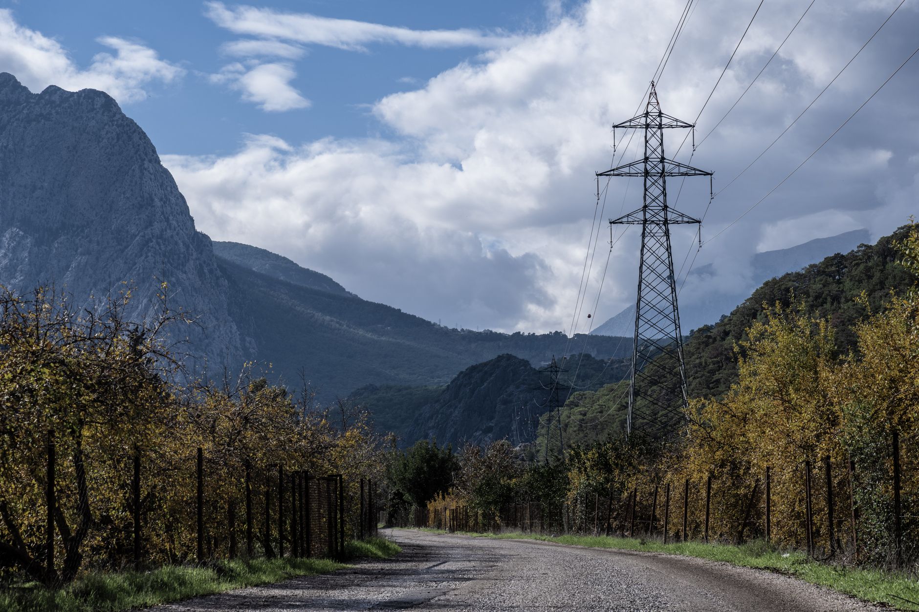
For a mountainous regional transmission-grid operator in China, distance was only part of the inspection burden. Steep valleys, high elevations, karst terrain, and dense vegetation made towers laborious to reach and defects difficult to see from the ground.
Manual patrols could require hours of climbing for each tower, exposing crews to falls, electrical hazards, and punishing travel. Manually controlled drone flights reduced some fieldwork, but they still demanded skilled operators near the inspection corridor and constrained the ground covered in each mission.
The operating problem called for more than an aircraft with a longer battery. The operator needed repeatable aerial drone surveying that could launch remotely, follow planned corridors, collect detailed asset data, and return evidence to an office control room.
- Reduce crew exposure to arduous climbs and remote field access
- Extend inspection reach beyond the practical limits of manually piloted aircraft
- Capture visual and LiDAR records along difficult transmission corridors
- Give office staff direct oversight of remote missions and live inspection data
From Field Piloting to Docked Autonomy
The operator installed a weather-protected dock at a substation and paired it with an autonomous VTOL aircraft and a cloud command platform. VTOL capability allowed vertical launch and recovery at the dock, followed by efficient wing-borne flight across long mountain corridors.
An operator could initiate a mission from an office 140 kilometers from the aircraft. The drone then launched autonomously, entered its programmed route, collected imagery and LiDAR data, and transmitted live information to the control platform.
The published account does not describe a phased procurement schedule, formal training curriculum, or continuing service arrangement, so those elements should not be inferred. It does document a disciplined operating sequence that prospective buyers can test through a robot pilot program before broader deployment.
- Place the autonomous dock where it can reach priority transmission corridors
- Prepare repeatable flight paths around terrain, towers, conductors, and vegetation
- Combine visual inspection with 3D LiDAR mapping during the same mission
- Monitor flights and incoming data from the office control platform
- Use measured coverage and mission performance to guide later expansion
More Corridor Covered With Less Manual Control
The deployment cut manual control time by nearly 80% and increased transmission-line inspection efficiency almost fivefold. Those gains came from relocating the operator to the control room and allowing the docked aircraft to execute planned flights without an on-site pilot.
In a documented mission, the drone completed 19.4 kilometers of 3D laser modeling in 31 minutes. Its long-range configuration could inspect more than 80 kilometers of line in one sortie, while the dock covered approximately 251.2 square kilometers, about 35 times the area attributed to a typical multirotor dock.
Office personnel gained oversight of 15 major transmission corridors. The practical result was not merely faster flying. It was a wider inspection envelope, less dependence on difficult tower access, and faster delivery of visual and spatial evidence to the people responsible for grid maintenance.
The Integration Lesson for US Utilities
This is a documented real-world example that Service Robot Co. analyzes. Service Robot Co. did not run the deployment, and the operator remains a mountainous regional transmission-grid operator in China.
For a US utility considering inspection robot rental or a capital purchase, the transferable lesson is that aircraft selection cannot be separated from docking, route engineering, data flow, training, and field support. Terrain, corridor geometry, payload needs, communications, weather limits, and inspection policy all shape the right system.
Service Robot Co. serves US businesses as a full-service, OEM-neutral commercial robot integrator. We select equipment across manufacturers, arrange financing, handle robot deployment and integration, train operating teams, and service deployed units through a nationwide US engineer network.
That lifecycle model gives a utility one accountable vendor from site assessment mapping through go-live support. It also creates room to evaluate a commercial robot demo, maintenance included terms, or staged adoption without pretending that results from a mountain grid will automatically transfer to another operating territory.