
The question, in the buyer's words
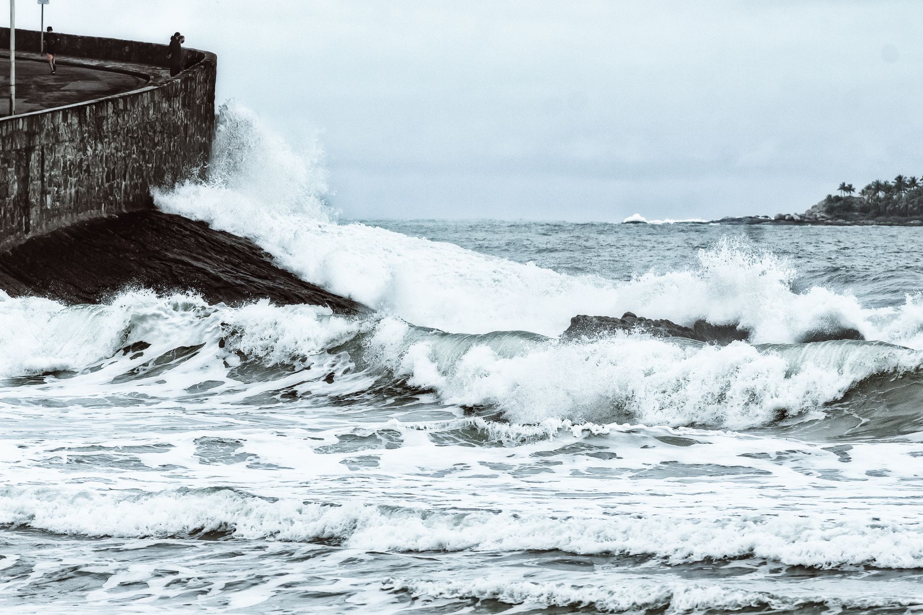
I manage 18 miles of seawall and rock revetment on the Galveston, Texas coast, and after every storm crews walk the rock to find displaced armor stones; could drones map them within a day?
Key takeaways
- A drone can flag displaced armor stones within a day of a storm when the flight window and tide allow it.
- A pre-storm baseline is what turns drone imagery into a record of which stones actually moved.
- Drones find candidates. Crews confirm, engineers judge and repairs follow.
- Check Texas drone rules, FAA restrictions and park access before a storm, not after.
- Public sources put the seawall near 10 miles, so confirm which stretches your 18 miles covers.
Can drones find displaced seawall rock stones in Galveston after a storm?
Yes, in most cases a drone can locate displaced stones on a Galveston seawall or rock revetment within a day, and it can do that without sending people onto wet, unstable armor. The timing is the reason this matters. A crew that walks the rock days after a storm often finds displaced stones only after the tide has already come back over the toe, and by then the wall may have been working loose for days. A flight after the storm, when conditions allow, gives you an earlier picture of where the damage sits.
Scale is the first thing to check. Public descriptions put the Galveston seawall at about 10 miles, according to the Wikipedia article on the Galveston Seawall, and a Galveston newspaper editorial reports that 7.3 miles was the length certified as the longest continuous sidewalk in the US. According to the National Register nomination form, the original segment ran 17,593 feet, and the 1918 Corps of Engineers extension ran 10,300 feet in total. Your 18 miles is well above those figures, so your district likely includes revetment, groins or other stretches that public descriptions do not cover. Confirm each stretch on an as-built map before you plan flight routes.
The island has a long record of storm damage to its defenses. According to ABC13, Hurricane Ike in 2008 left sinkholes along the seawall and damaged the rock groins. A drone survey is most useful in the days after a named storm, when the decision is which stretches need a crew first, not which single stone needs repair today.
Why do displaced armor stones matter on a Galveston seawall?
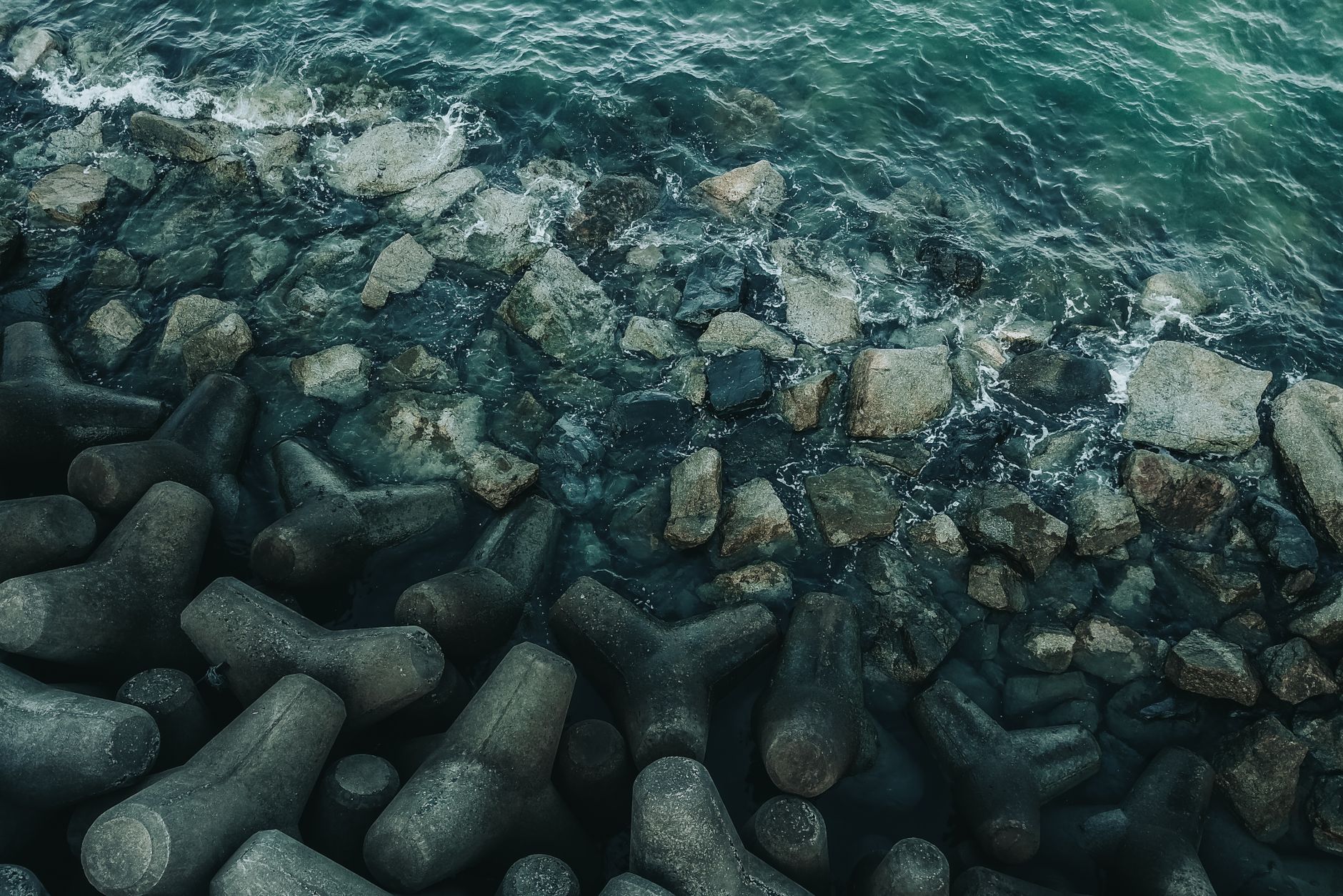
A displaced stone is usually a symptom, not the whole problem. The USACE Coastal Engineering Manual lists toe failure, unraveling and piping through the armor layer as common revetment failure modes, according to Part V of that manual. Each one starts with rock that stops sitting where the design put it. A single missing stone at the toe can open a path for water and fill to move through the layer, which is why toe stones deserve more attention than their size suggests.
The record from Galveston points the same way. Hurricane Ike damaged the rock groins, and a Texas A&M Galveston technical report by Moore and Masch examines defective toe protection and seawall damage. The findings of that report were not reviewed for this page, so read it before you set toe priorities. Either way, the toe is where a survey should focus first, because that is where a stone shift can turn into wall movement.
Displacement also changes what you can trust from an image. A stone that has rotated or slid can still look roughly in place from above, and a stone that rolled into a gap can look like debris. A drone flag is a reason to check, not a verdict. Your crew confirms the position, your engineer decides whether it threatens the wall, and only then does a repair get scheduled.
How do drones map armor stones, and how reliable is the result?
The usual method is photogrammetry. Overlapping images from a flight are processed into a three-dimensional model, and that model is compared with an earlier one to find change. A study of the Amalfi breakwater in Italy combined DGNSS surveys with UAV photogrammetry to estimate damaged and repaired armor unit volumes after a November 2022 storm, and its authors describe the method as rapid enough for use right after a storm surge. I could not tie that study to a retrievable source in this run, so treat it as a lead to verify, not a settled benchmark.
Detection is harder than mapping. A 2024 Remote Sensing study on rubble-mound breakwaters used UAV photogrammetry with a RANSAC algorithm to detect tilting and lateral shifts of armor units, which 2.5D methods can miss, according to the MDPI article. In plain terms, a flat orthophoto can show that a stone is present, but it may not show whether the stone rotated or slid sideways. That is the difference between a stone that looks fine and a stone that has started to fail.
I did not find a single standard protocol for drone-based armor displacement surveys after storms. Your engineers will need to set the accuracy target, the ground control layout and the rule for what counts as displaced. Ask any provider to show how they will handle those three items on your own rock before you accept a survey method.
- Ground control points set on stable, fixed features before each survey
- A pre-storm baseline model for every stretch
- A written threshold for tilt or lateral shift that triggers a crew check
- A separate rule for toe sections below the waterline, which need another check
- Starting after a storm
Drone
Can start once wind, debris and airspace allow, often before the tide has returned
Staff
Must wait for the tide to drop and for the stretch to be safe to walk
- Covering long stretches
Drone
One flight can image a long run of rock, limited by battery and weather
Staff
Walks the rock at a set pace, covering shorter sections per shift
- Spotting tilt or sideways slide
Drone
Needs a baseline and processing, and can detect tilt with the right method
Staff
Can check seating by sight and touch, and judge whether a stone has moved
- Light and weather
Drone
Limited by light, wind and rain under flight rules
Staff
Can work in more conditions, within safety limits
- Judgment and repairs
Drone
Flags candidates but does not decide what has failed
Staff
Engineers judge the threat and crews plan the repair
- Where each one wins
Drone
Speed across clear, dry stretches, with no one on wet armor
Staff
Close checks, touch, submerged or buried stones, and judgment about risk
What does a drone survey involve in the day after a storm?
The survey depends on a baseline. Fly the same stretches in calm conditions before the season starts, then compare each post-storm model against that baseline. The question becomes which stones moved, not which stones look odd. Without a baseline, a drone gives you a list of anomalies that crews still have to sort by hand, and that list can be long on rock that has never been surveyed carefully.
The window is tight. The rock needs to be dry enough to see clearly, winds must sit within the drone's limits, and the tide must be low enough for crews to reach the stones the drone flags. Storm recovery also brings debris, closed roads and restricted airspace, so plan the route and launch points before the storm arrives rather than after.
Processing is the other half of the job. Images must be aligned, georeferenced to ground control points and compared against the baseline before anyone can say a stone moved. A same-day product is realistic for a short stretch with a good baseline. For 18 miles, plan staged flights, starting with the toe sections that failed in past storms, and let the results set the order for the rest.
What Texas and federal rules apply to flying drones over a seawall?
Texas Government Code Chapter 423 is the main state drone statute, and the statute text is available through the Texas public law statutes site. One source says Section 423.009 generally limits cities and counties from making their own drone rules, with narrow exceptions such as special events and city-owned facilities. Section numbering differed across the sources I reviewed, so read the statute text yourself before you plan any flight.
The Fifth Circuit upheld Chapter 423's surveillance and no-fly provisions in National Press Photographers Association v. McCraw. Sources disagree on whether that ruling came in 2023 or 2024, so check the opinion before citing the year in any filing. The state statute is the first place to look, because it generally limits what cities and counties can add on top.
Federal rules still apply on top of state law. Temporary flight restrictions can follow storms, and flying under one requires FAA authorization, so check for restrictions before each storm response flight. Beyond-visual-line-of-sight rules are being revised, but I could not verify their present status this run, so check faa.gov and the Federal Register before planning long flights. One source also reports that Galveston Island State Park prohibits drone operations, which I could not confirm against an official source, so ask the park before you plan any flight near it.
Where does our service fit, and how would a lease work?

We are a full-service integrator for US businesses. We pick the right robots across manufacturers, lease them through financing, deploy and integrate them, train your staff, and service every unit under our service plan, backed by regional service engineers in every state we service. Our work is vendor neutral, so a drone recommendation follows your sites, not a single maker's catalog. The first step is a free site assessment, where we map your stretches, check access and flight windows, and test whether a drone is the right class of aircraft for your work. The lease payment comes in a quote after that assessment.
A lease works best as a pilot. Start with one stretch and one storm season, then compare the flagged stones with what your crew finds. Ask for the quote in writing, including the service terms, what replacement looks like if a unit is out of action during a storm, and whether Texas coverage is confirmed for your stretches. If a drone is the wrong tool for part of your wall, we will say so during the assessment.
Who does the work after a storm, and what does the crew still do?
The drone changes who walks first, not who decides. Crews still set eyes and hands on flagged stones, check seating and move rock when a repair calls for it. Engineers judge whether a displacement threatens the toe, and your repair crews schedule the work. What the drone saves is walking time, during the period when walking time is scarcest.
I could not verify Galveston labor market data for this page, including staffing levels, turnover and local wages, so the staffing case rests on your own records. Track how many crew-days each storm response used, how many flagged stones turned out to be real displacements, and how many were false alarms. Those three counts will tell you more than any regional average would.
Local season matters for scheduling. The Atlantic hurricane season runs into late November, and I did not confirm its exact dates against a NOAA page in this run, so check them before you set the pilot calendar. A standing plan for when a named storm is forecast is more useful than a plan that starts after landfall.
What should a pilot prove before drones cover the whole wall?
Run one pilot on a single stretch of toe protection through one storm season. Compare the drone flags with a crew walk on the same stretch, and record the misses as well as the hits. Agree on the success rule in advance, such as how many flagged stones must be confirmed by crews before you trust the next flight.
Check the pilot against the three things that change the answer: the tide and flight windows on your actual stretches, how often storms trigger a response, and whether your engineers accept drone output as a screening record. If any of those fail, a drone may still help with routine baseline surveys, but it should not be your storm response tool.
For 18 miles, the honest answer is a staged plan. Start with the toe sections that failed in past storms, add stretches as the pilot proves reliable, and keep crews on the walk for every flagged stone until the record is trusted.
Frequently asked questions
Put a robot to work in Galveston.
We walk your site, learn the job, and recommend the unit that fits. Then we quote the lease, deploy it, and keep it serviced.
Sources
- Wikipedia, Galveston Seawall
- Galveston newspaper editorial on the seawall sidewalk record
- National Register nomination form, Galveston seawall
- ABC13, Hurricane Ike seawall damage
- USACE Coastal Engineering Manual, Part V
- Remote Sensing (MDPI), rubble-mound breakwater UAV study
- Texas Government Code Chapter 423
- Texas A&M Galveston technical report, Moore and Masch