
The question, in the buyer's words
I manage a 900-acre cattle ranch in canyon country where the rims erode and our radio signal drops out in the drainages; could drones still fly the rims and send back clear footage?
Key takeaways
- Canyon rim drones can film erosion from the rim top while the pilot keeps the aircraft in sight.
- Radio signal dropouts come from walls and drainage floors, so drainage legs need a plan or a person on foot.
- Cellular backup can fail in the same canyons, and satellite links are still mostly tests.
- Flights beyond sight need a waiver under the rules in force today, and the proposed Part 108 rule is not yet final.
- A free site assessment maps your rim lines before any lease quote is made.
Can canyon rim drones still fly the rims with clear footage?
Yes for the rims, most of the time, if the pilot can see the aircraft. The rim is high ground where a drone can stay above the canyon and inside the pilot's line of sight, and that is where canyon rim drones do their best work. The trouble starts when the aircraft drops into the drainage, because the canyon walls sit between the controller and the drone.
Radio signal dropouts are a terrain problem, not a defect in the aircraft. Erosion along the rims shows up well from above, and clear footage from a rim pass can document undercutting, slumping and new gullies. The footage stays clear only while the video and control links hold, so the flight plan has to keep the drone on the rim side of every wall.
Plan for the drainages to be the weak spot. A drone that loses its link in a deep drainage falls back on its own autopilot, so fly those legs only with a clear line to the aircraft, or skip them and survey from the rim edge while a person checks the bottom on foot.
Why do radio signal dropouts hit canyon drainages?
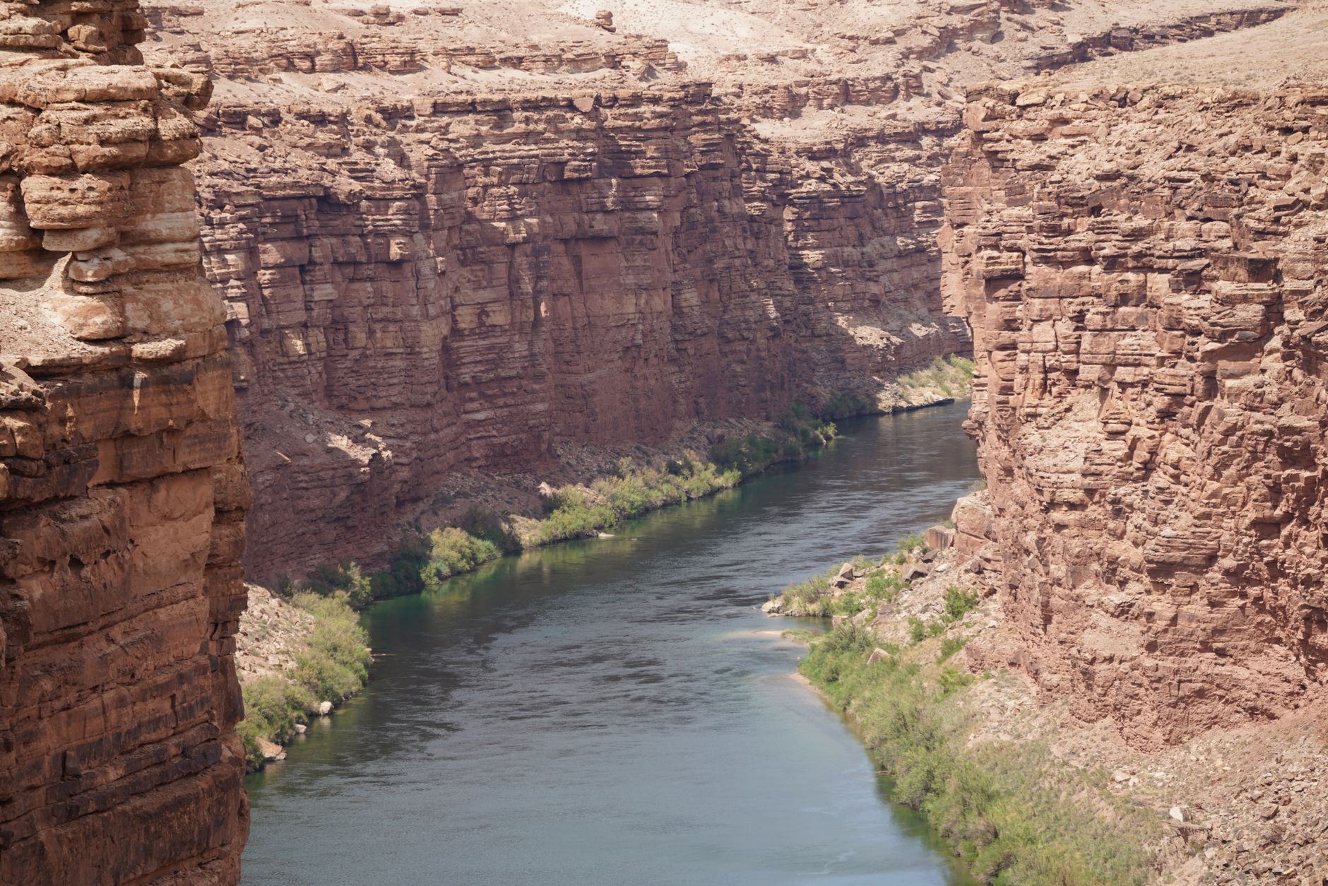
The control link between a pilot and a drone is limited by line of sight, so anything solid in the path cuts it. Canyon walls, cliff faces and the drainage floor itself block the signal, and the aircraft can disappear behind a wall while the pilot still needs to see it.
A vendor guide on drone link loss reports one commercial aircraft losing its video downlink at just over 1 km in an urban canyon. That was a city canyon with buildings, not a ranch canyon, so treat the distance as a warning sign rather than a number to plan around. The same guide says a link loss of 3 to 5 seconds triggers return-to-home, a GPS-guided autopilot action rather than pilot control.
Return-to-home is a fallback, not a plan for a canyon. It flies the aircraft back toward its takeoff point by the route it can compute, and if that route crosses a wall or a drainage, it can take the drone through terrain you did not choose. Setting the return altitude above the rim crest is the first fix, and it is covered in the setup section below.
What happens when a drone loses its link in a canyon?
A drone that loses its direct radio link is not automatically lost, but the problem gets worse when GPS also fades. The same vendor guide says cellular backup shares the blockage problem, because the canyon that shadows the GPS antenna also weakens the cellular link. A second data path that fails for the same reason is not a true second path.
That is why the fallback behavior matters more than top speed or camera specifications. An aircraft that holds its last known position, or returns to a point you chose, behaves very differently from one that searches for signal. Ask the vendor exactly what the aircraft does at 3 seconds, at 30 seconds and at 3 minutes of lost link, and get the answer in writing before you accept the flight plan.
Field testing is the proof you need. Ask for a test over the actual rim you want to fly, with the aircraft flown behind a wall on purpose, and record how the link and the footage behave. A short test over flat ground tells you very little about a drainage.
- Rim top coverage
Drone
Covers long rim lines quickly with one pilot at a staging point
Staff
Walks the rim edge and stops at each cut bank to look closely
- Drainage floor
Drone
Weak point, because the link can drop behind canyon walls
Staff
Walks the bottom, checks culverts and tracks by hand
- Footage detail
Drone
Clear overhead view of erosion patterns while the link holds
Staff
Close, detailed view, but eye level can miss what sits under a lip
- Wind and gusts
Drone
Canyon gusts push the aircraft and cut flight time
Staff
Slower in gusts, but takes notes and photos on the spot
Do satellite and cellular backups fix the dropout problem?
Partly, and not yet as a plug-in fix. Cellular backup is the first option most people ask about, and it can fail in the same canyons for the reason described above. Satellite links avoid the walls, but they are still mostly tests.
An FAA-funded project tested cellular, C-band radio and satellite communications together for extended beyond-visual-line-of-sight operations in challenging terrain. The value of that work for a ranch is the design: several links run at once, so one failing does not end the flight. The public report does not turn that test into a product you can count on for a particular canyon.
Company-reported trials point the same way. One trial connected a drone to a satellite service in airspace with no mobile coverage, and a 2026 demonstration combined satellite and ground links for beyond-sight flight. Both were announced by the companies involved, and neither shows how a specific aircraft holds a link in your drainage on a windy afternoon.
Can a rancher fly a drone beyond sight in the US right now?
Not casually. Flying a drone beyond visual line of sight is treated as its own category. Under the rules in force today, those operations generally need an individual waiver, filed through the FAA DroneZone portal with an operational plan, and that is the main legal hurdle for flights that drop into a drainage out of sight.
The FAA and TSA published a proposed rule, called Part 108, in the Federal Register on 7 August 2025, with comments due 6 October 2025. It would replace individual waivers with a standard framework for beyond-sight operations. Even under a standard framework, a link you cannot trust is still a safety problem, so the link plan would matter under any rule.
The timing is the uncertain part. Reporting from mid-September 2026, the most recent I found, said the final rule had been at the White House regulatory review office since 10 July 2026. The statutory deadline of 16 January 2026 and the 240-day executive order deadline of 1 February 2026 had both passed, and the FAA said it was hoping to publish before the end of 2026. Check the federal regulatory dashboard for the latest status before you plan around the new rule.
How big is a 900-acre ranch compared with other US farms?
The 2022 Census of Agriculture, published by the USDA statistics service, counted about 29.2 million beef cows on 622,162 farms with beef cows. The number of farms with beef cows fell 14.7% from 2017, the beef cow inventory fell 7.9%, and beef cows made up 33% of all US cattle.
Most cattle operations are small. According to the USDA Economic Research Service summary of that census, 55% of farms with beef cows had fewer than 20 beef cows on 31 December 2022, and under 1% had 1,000 or more. The beef cow figures count farms and cows, not acres, so the acreage comparison below is the closer one.
For all US farms, the average in 2022 was 463 acres, up 5% from 441 acres in 2017, according to trade coverage of the census. The total number of farms was about 1.9 million, down about 7% from 2.04 million in 2017. At about twice that average, your ranch is well above the typical scale, so the rim patrol needs a plan built for ground that most operations never have to cover.
What are ranchers already using drones for?
Adoption is real, but it centers on finding and counting, not canyon footage. A 2018 poll by the Texas and Southwestern Cattle Raisers Association found that of nearly 1,100 respondents, one-third said they would use a drone that year. That was an intention figure, not a record of actual flights, so it shows interest more than proof.
An Australian producer survey run by the national red meat industry body found producers using drones mainly to locate and check livestock, to muster, and to check water points. The survey was offered to more than 750 people, and about 30% of them completed it. The year could not be confirmed in this review, so treat its figures as dated and as a guide to tasks, not terrain.
Counting cattle from the air is described as an emerging use, and I found no US usage percentage for it. For a rancher, the practical lesson is that drones pay off when they fly the same routes repeatedly over ground you already know, which is close to the rim patrol job in your question.
How do you set up a rim flight that holds up?
Start by choosing staging points on the rim top, not in the drainage. From a staging point, the pilot can see the aircraft over the rim lines you need, and the drainage becomes a separate job for a person on foot. Keep takeoff and landing on ground with clear sky overhead so the satellite positioning fix stays strong.
Set the return altitude above the highest rim crest on the route, not at the default height, and test that setting on the ground before flying. Keep the aircraft above the rim line on every leg, so a link drop sends it toward open sky instead of into a wall. Watch the wind, because gusts funneling up a canyon can push an aircraft toward the rock.
Record every flight. A dropout you can see in the flight log tells you where your link fails, and that is the data you need before you commit to a flight plan or a service agreement.
- Map each rim leg from a staging point where the pilot has direct sight of the aircraft.
- Set the return altitude above the highest rim crest on the route and test it on the ground.
- Set a wind limit and turn back early when gusts funnel up the canyon.
- Log each flight so the footage and the link record can be reviewed after any dropout.
- Walk the drainage floor with a person, not a drone, for any cut bank you need to measure closely.
How do you get a canyon drone set up through Service Robot Co.?
Service Robot Co. is an OEM neutral integrator for US businesses. We choose the right aircraft for the site, lease it through financing, deploy and integrate it, train the people who will fly it, and service every unit under RoboCare, backed by regional service engineers in the states we service. One partner handles the aircraft, the setup and the service, so the ranch does not have to coordinate separate vendors for each step.
The first step is a free site assessment, and that is where the canyon question gets answered on your own ground. The assessment looks at the rim lines, the drainages, the staging points and the link path, and it is the basis for the lease quote. If a drone cannot hold a link across a particular drainage, we will say so in the assessment and recommend a different plan for that stretch.
Ask for the lease terms, the training scope and the RoboCare service details in writing, and compare them against the link tests you ran. The lease is quoted after the site assessment, so the terms come from your terrain and your flight plan rather than from a generic offer.
Frequently asked questions
Want a drone at your cattle ranches?
Tell us about your site. We will recommend the robot, quote the lease, and keep it serviced.
Sources
- USDA NASS 2022 Census of Agriculture cattle highlights
- USDA ERS charts of note on farms with beef cows
- Trade coverage of the 2022 Census of Agriculture farm counts and size
- Texas and Southwestern Cattle Raisers Association drone poll
- Meat and Livestock Australia producer drone survey final report
- FAA beyond visual line of sight overview
- SBA Office of Advocacy on the proposed FAA and TSA BVLOS rule
- Drone link loss and communications vendor guide