
The question, in the buyer's words
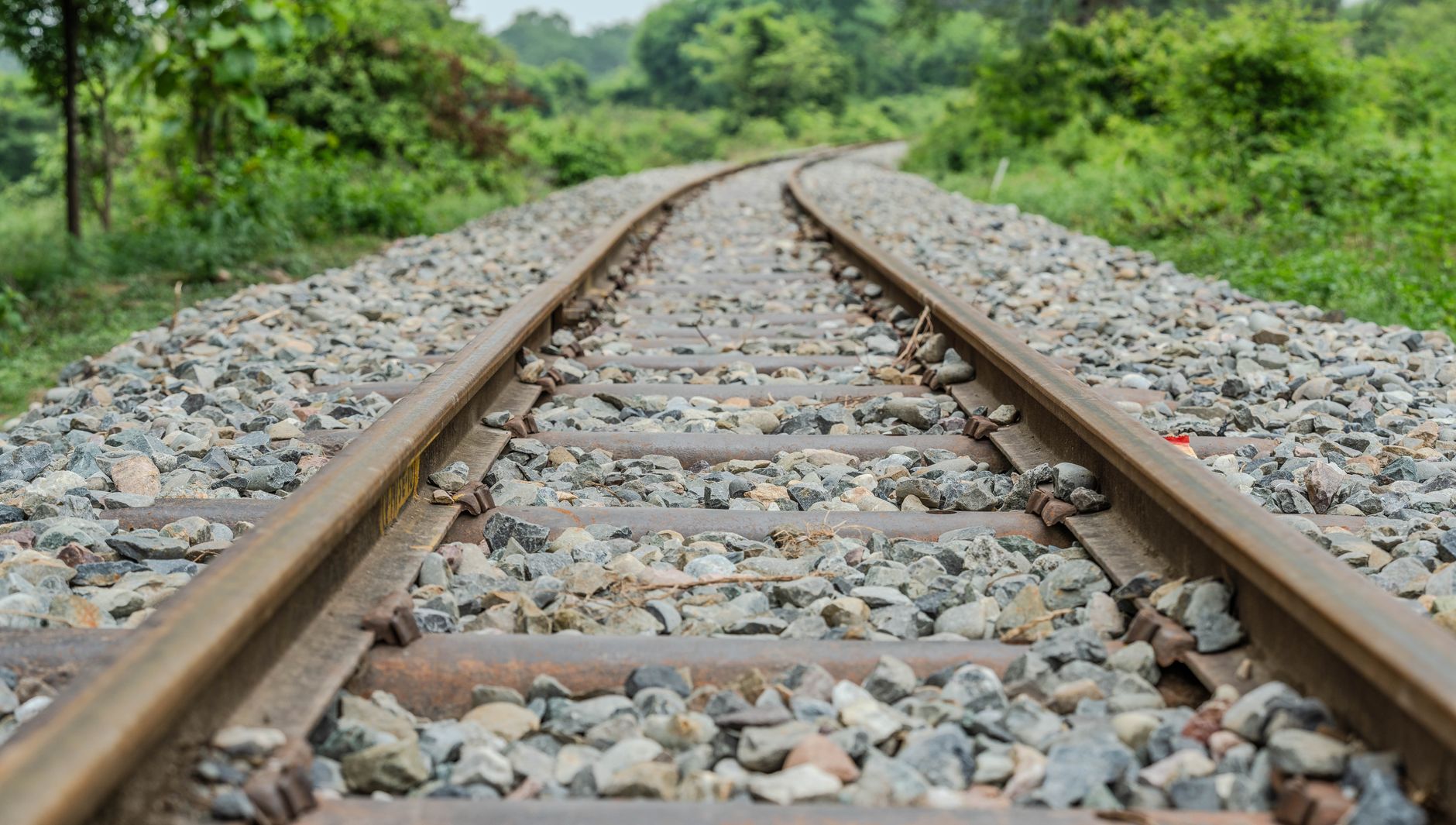
I run a 14-mile private rail spur where crews walk the ballast after every flood to find washouts; could drones map the ballast and flag washed-out sections faster than a crew can walk them?
Key takeaways
- Drones can map a private rail spur quickly after a flood, but they flag candidate washouts rather than confirm them.
- Published accuracy tests measure track position, not how much ballast a flood removed.
- Keep a foot check on every flagged section until your own test flights prove reliable.
- Federal inspection rules may not apply to a private spur, so confirm that before changing your schedule.
- Beyond visual line of sight drone flights still depend on FAA rules that were not final in the latest report we found.
Can drone mapping find washouts on a private rail spur ballast line faster than a walk?
For most spurs, drone mapping should find likely washouts sooner than a crew can walk the full ballast line, but it works as the first pass, not the final word. A drone can fly the corridor after floodwater drops, build a map of the ballast and track surface, and mark places where the surface looks wrong. The crew then walks those places, and only those places, to confirm what the drone saw.
The walk stays in the plan because the two methods see different things. A drone reads surfaces, shapes and positions from above. A person can look under a tie end, probe the ballast and notice a void by feel. No published study we found measures ballast depth from drone photogrammetry, so the drone cannot give you the number that decides how much fill to bring in.
You can settle the question with your own data. Compare the drone map against a full crew walk after the next real flood on the same stretch of spur. Count what each method found, missed and falsely flagged, and let that comparison decide how much of the walk the drone can replace.
What does a flood actually do to ballast and track on a spur?
Floodwater damages a spur in several distinct ways. It can scour ballast out from under ties, leaving rail unsupported and track that dips or sways under load. It can wash the shoulders and ditches beside the track, undercut embankments, and push debris into culverts until the water has nowhere to go. Each of these looks different, and some are only visible from close range.
The signs a drone can show are mostly surface signs. In the map and the imagery, look for the following.
Treat these as candidates, not findings. A washed shoulder can sit above solid ballast, and a sunken section can be soft subgrade rather than an open void. The map tells the crew where to look, and the walk tells the crew what they actually found.
- Exposed or hanging tie ends where ballast has been removed
- Wavy or sunken track surface compared with the pre-flood map
- Washed out shoulders and eroded ballast slopes
- Debris lodged in culvert openings and ditches
- Standing water on the roadbed or flattened vegetation along a cut
What do federal track inspection rules require, and do they reach your spur?
Federal rules set minimum walking frequencies for track in the general railroad system. For Class 4 and 5 main track and sidings, the eCFR text requires visual inspection twice a week, with at least one calendar day between inspections, and the inspection week runs Sunday through Saturday. For Class 4 and 5 main track with concrete crossties, automated inspection must supplement the visual walk.
Those rules may not reach your spur at all. Track inside an industrial installation that is not part of the general railroad system may fall outside these standards, but the answer depends on how your spur connects to the general system and what trains run on it. Confirm that with counsel or your regulator before you change your walk schedule.
Two other points matter for flood work. According to a summary of Part 213, track geometry exceptions must be field verified and remediated within two days, so a drone flag on a defect that counts should lead to a walk that week. A proposed House bill from 2026 would set a statutory minimum for visual track inspections, but it is a proposal, not law, so do not build your plan around it yet.
How accurate are drone maps of rail track and ballast?
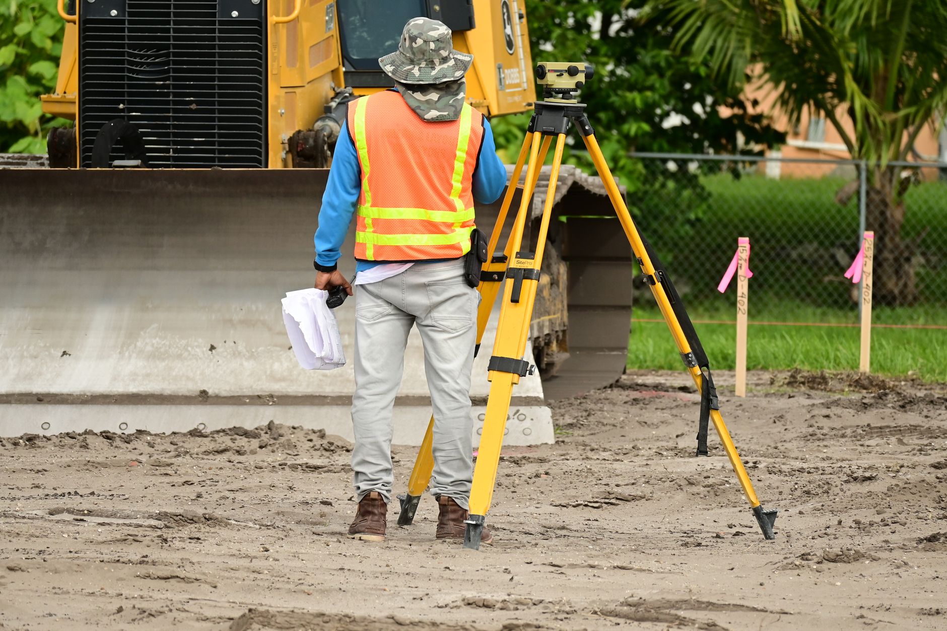
The published numbers are good, but they measure position. In a South Carolina DOT study, drone-based survey points were within 0.68 cm in XY, 0.09 cm in Z and 1.46 cm in XYZ of true location. Those figures tell you where a point sits, not whether ballast beneath it has washed away.
Rail-specific tests are tighter. A 2026 feasibility study in the ISPRS Archives reported that the best lightweight UAV setup, using a 15 m nadir flight plus side-looking images at 2.5 m and 5 m, reached local fitted-surface RMS of 0.25 mm and about 0.37 mm on the rail running surface. The same setup still showed a 2.2 mm gauge discrepancy against terrestrial laser scanning, so the drone is a survey tool that needs checking against ground data.
Other studies give a wider band. A 2021 Remote Sensing study validated on crane tracks in Hamburg reported RMSE of 3 mm in XY and 8 mm in altitude, and a 2020 ISPRS Annals study reported rail positioning at 0.9 mm ground sample distance from a 35 m flying height. The practical question for a washout is whether a flood changed the surface enough to show, and none of these studies tested that on ballast.
Can a drone see under the ballast or beneath a culvert?
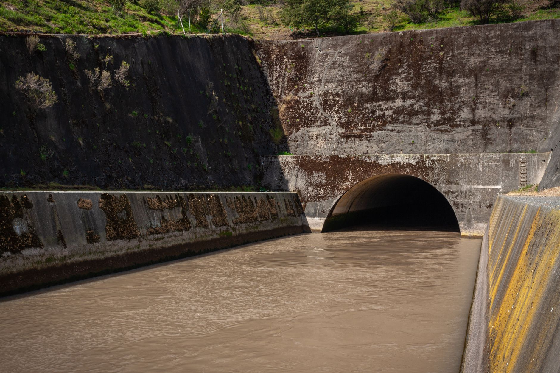
Mostly no. A drone sees what faces the sky, so it can map the ballast surface, ties, rail and the sides of a cut, but not the space beneath a tie or the inside of a pipe. A Minnesota DOT drone phase in 2015 found the drones captured the same data as ground methods, but the drone used could not shoot upward from beneath a bridge, as reported by a local news outlet.
Subsurface work needs different tools. A 2021 quarry aggregate study in the journal Drones used ground-penetrating radar below the surface, and that was aggregate, not track depth. If a void under a tie matters for your repair decision, plan a probing or ground-penetrating survey on the flagged sections rather than another flyover.
Culverts need their own check. A drone can photograph an inlet and outlet and show debris or a blocked opening, but the inside of a pipe is usually something a person has to look at. Put every culvert inlet and outlet on the walk list whether or not the drone flags it.
How would a drone flight over 14 miles work in practice?
A 14-mile corridor is set as much by flight rules as by battery life. Flights beyond the pilot's visual line of sight generally need special FAA approval today. A trade report on the FAA's proposed Part 108 rule noted that the proposal drew over 3,100 comments and that the executive order deadline for a final rule expired February 1, 2026. In the most recent report we found, the final rule had gone to the White House regulatory review office on July 10, 2026, and an FAA official hoped to publish it before year end.
Plan the flights in legs. Break the spur into segments a pilot can fly within the rules, set flight heights that show ballast and tie ends, and repeat the same flight paths before and after each flood so the two maps line up. A major railroad used this approach in a 2016 flood in northern Iowa, flying a live drone feed over affected track and then adding ballast and rerouting traffic to a less flooded route, as reported by Progressive Railroading.
Walk time is the number you need and the one the sources do not give. We found no published staffing figure, crew walk time or incident rate for spur walking. Time a full walk of your spur and a drone flight of the same length on a dry day, then compare both against the flood-day numbers you already keep.
Who sets up, flies and services the drone?
Service Robot Co. (servicerobotco.com) is a full-service commercial robot integrator for US businesses. We are not tied to one manufacturer, so we pick the drone and sensor setup for the site, then lease it through financing, deploy and integrate it, train your staff, and service every unit under our service plan through regional service engineers in each state we service. The lease quote follows a free site assessment, so the terms reflect your spur and your flood history.
When you talk to any provider, ask for the flight plan, the sensor specifications, the approvals needed for each route, and the process for sending a flagged section to a walker. A provider who cannot show how a flag reaches a crew, and how a missed flag gets reviewed, is giving you a picture, not a process.
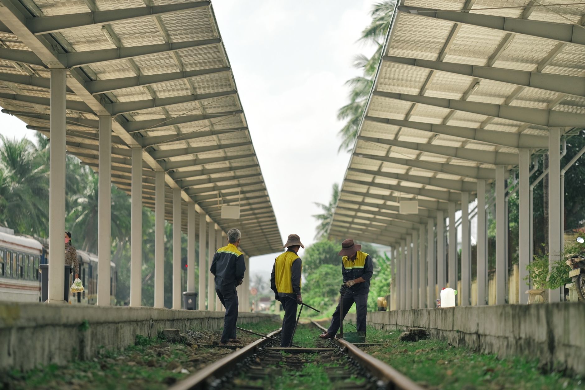
The spur still needs its own people. A drone changes who walks what and when, but someone has to review the map the same day, log what was confirmed, and decide what goes to repair. Assign that job to a named person before the next flood.
What should you check before deciding on drone mapping for a spur?
Start with the rules. Confirm whether federal track inspection rules reach your spur and what your own track standards require. Then confirm flight approvals for each route, since beyond visual line of sight flights still depend on a rule that was not final in the latest report we found.
Then test on a real event. One flood is a small sample, but a side by side comparison of drone flags against the crew walk will show your false alarm rate and your missed defects. Use that result to decide whether the drone replaces part of the walk or only sorts it.
Plan for the bad day too. Keep the pre-flood baseline, the post-flood map and the walk log in one place so an engineer can see what changed. If the drone is grounded or the water is still high, the walk has to happen anyway, so the crew plan must work with and without the drone.
Frequently asked questions
Want a drone at your private rail spurs?
Tell us about your site. We will recommend the robot, quote the lease, and keep it serviced.
Sources
- Progressive Railroading, Union Pacific drone track inspection (2016)
- eCFR, 49 CFR 213.233 visual track inspection
- South Carolina DOT drone bridge study, 2019 to 2020
- ISPRS Archives, UAV rail geometry feasibility study (2026)
- Ghassoun et al., Remote Sensing (2021), rail position accuracy
- Gerke et al., ISPRS Annals (2020), rail positioning
- PickDrones, FAA Part 108 BVLOS rule status (2026)
- KROC News, Minnesota DOT considering drones for bridge inspections