
The question, in the buyer's words
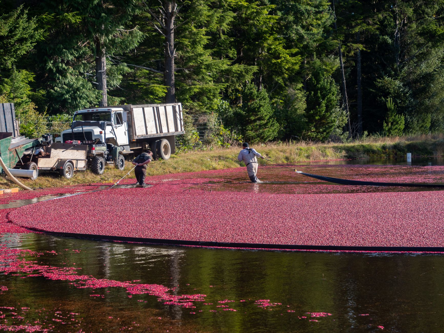
I own a 480-acre cranberry bog operation where crews walk the dikes after every wet season to find washouts and vine damage; could drones map the dikes and flag damage before harvest crews go out?
Key takeaways
- A drone flags candidate dike damage, and a person on foot confirms each flag.
- Extension research puts drone flight at about 30 minutes for 150 acres, against at least a half-day on foot.
- No source reviewed documents a cranberry dike damage workflow after a flood.
- Flight rules, daylight and visual line of sight set the window you can actually fly.
Can a drone map cranberry bog dikes and flag damage before harvest?
Yes, in part. A drone can fly the dikes of a cranberry bog, build a map of them, and flag spots that look like washouts or vine damage, so crews know where to walk before harvest. That is a real gain over sending people along every foot of dike. It is not a full replacement, because a flag from the air is a lead that someone on the ground still has to confirm.
Walking the dikes after each wet season finds damage late because the search is slow and every section gets the same effort. Drone mapping changes the order of work: the aircraft covers ground quickly, the images can be compared across flights, and the crew spends its hours where the images point. Over a 480-acre operation, that difference repeats every wet season.
Cranberry research has used drones for weed mapping, fertilizer trials and seepage mapping, but the search did not turn up a published workflow for post-flood dike damage. Treat the approach as a pilot on your own dikes rather than a proven method for your exact problem.
How much cranberry production is at stake across the US?
Production is concentrated in a handful of states, so conditions differ from one growing region to the next. According to USDA's Economic Research Service, the 2025 U.S. cranberry crop was forecast at 8.13 million barrels, down 9% from 2024 and close to the 5-year average of 7.95 million barrels.
WisBusiness, citing USDA figures, reports the national 2025 crop at 7.46 million barrels, with Wisconsin at 4.8 million, Massachusetts at 1.9 million, Oregon at 530,000 and New Jersey at 449,000. The forecast and the later national figure are not the same number, so check which one a lender or co-op expects you to cite.
On the grower side, WisBusiness reports that the Wisconsin state association's assessment covered more than 250 growers and 21,000 acres. For Massachusetts, the NASS New England release lists roughly 394 cranberry farms and about 12,875 acres from the 2022 Census of Agriculture, but the table is hard to parse, so treat those as approximate. A national 2025 acreage or farm count was not available in the sources reviewed, so the NASS Quick Stats database and the annual cranberries report are the places to look.
What can a drone sensor see on a cranberry bog dike?
The sensor matters more than the aircraft. UMass Cranberry Station hosts an extension project on unmanned aircraft applications that includes mapping weed infestations with RGB and multispectral sensors. Visible-light images show bare soil, cut banks and dead vines, and multispectral sensors are built to pick up differences in plant condition that a color photo can miss.
Thermal sensing has a documented bog use. UMass Amherst researchers flew a drone-mounted thermal infrared camera over a 25-hectare former cranberry bog in Plymouth, Massachusetts, to map groundwater seeps before and after restoration, according to a paper in Frontiers in Environmental Science. A 2018 grant also funded heat-sensing drone photography of bogs with the UMass Cranberry Station. Seepage is not the same as a washout, but thermal imagery can show where ground stays wet along a dike.
Dike inspection research outside cranberry already pairs drones with several sensors, including LiDAR and thermal infrared, feeding a GIS for dike managers. Those are useful models for the sensor mix. They describe levees and embankments, though, and cranberry dikes sit on peat, which compresses under dike weight, according to UMass extension guidance. Ask any provider for imagery from a bog or peat site, not only from a levee.
How much time does drone scouting save over walking the dikes?
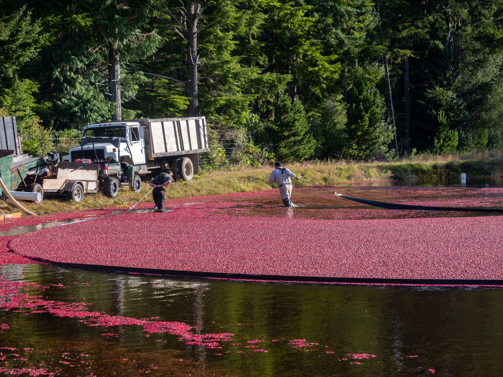
Extension figures give a useful range, though none measures a cranberry dike directly. Kansas State Research and Extension, reported by KSAL, says a 150-acre field that takes at least a half-day to scout on foot can be covered by drone in about 30 minutes, and adds that manual validation remains important.
The flight is only part of the work. LSU Extension counts flying one 75-acre field, merging images and analyzing results as three to five hours, so analysis can set the schedule. An agronomy cooperative's internal estimate, reported by HPJ, puts the time savings at about 60 percent, but that is an internal estimate, not a measured study.
Your bog is more than three times the 150-acre example. At the K-State rate, flying alone would take a little over an hour and a half, before any analysis, which is simple arithmetic and not a forecast. Run a timed pilot on one dike section and record flight, analysis and crew checks separately before you plan a harvest calendar around any figure.
Where does drone mapping miss damage a walker would catch?
Some damage is hard to read from above, and the extension research says so. Kansas State's Joshi stresses that manual validation remains important, which in practice means a person checks each flagged area before a repair decision. The image tells you where to look, not what is wrong.
Vine damage is the harder case. A bed can look uniform from the air while the stress shows up at ground level, so the difference between a healthy and a damaged section may only be confirmed by a person in the bed. Ground-truth a sample of unflagged dike sections as well, so you learn what the drone missed rather than assume it saw everything.
Weather limits the window too. Flights need daylight or civil twilight, and the pilot must keep the aircraft in visual line of sight, so a wet season can leave a narrow window just when you need the data most. Plan for a second flight slot rather than assuming one flight per season will do.
What FAA rules apply to flying a drone over a bog?
Commercial flights in the US fall under Part 107, and the Parkland College summary of Part 107 covers drones under 55 pounds, a remote pilot certificate and operation within visual line of sight. These are the core conditions for a Part 107 flight, and any provider flying your dikes has to meet them.
The same summary lists Class G airspace, altitudes at or below 400 feet, daylight or civil twilight operation, and yielding to manned aircraft. Parts of that summary draw on sources dated 2016 to 2021, so read it as a starting point and confirm against the up-to-date FAA text before you commit a flight plan.
Rules are only one layer. Standing water, dense vine cover and the layout of dikes between bog cells mean the pilot should walk the site first and plan flights along dike crests and access roads. Check whether your insurer or local authority asks for notice before flights near neighboring land.
How does a drone scouting day fit before harvest crews go out?
Think of the drone as the first pass in a two-step routine. The aircraft flies the dikes after a wet season, the images become a map, and the map produces a short list of candidate problems in the order crews should visit them. The crew then walks each flagged spot and confirms, clears or marks it for repair.
Timing depends on how quickly repairs can be made. Fly soon after water recedes so the crew has time to act, and keep the confirmation walk separate from any full sweep so the sweep stays a spot check. Comparing flagged and unflagged sections over several seasons shows whether the drone is finding what matters.
Keep the flight date, the map, the flag list and the crew's findings together. The next season's flight can then show whether a washout grew or was repaired, and that comparison is where repeat drone mapping beats a one-time walk.
Who sets up, flies and services a drone for a bog?
Most growers would rather not own and run a drone program alongside harvest. We are a commercial robot integrator that is not tied to one manufacturer, so we choose the aircraft and sensors for your bog, lease them through financing, deploy and integrate them, train your staff, and service every unit under our service plan. Regional service engineers cover every state we service.
The lease is quoted after a free site assessment, which is the only way to get a figure that reflects your acreage, dike layout, flight frequency and processing needs. Robots are leased through financing and not sold, so the decision rests on the scouting schedule you need rather than a large upfront outlay.
Do not expect the provider to make the agronomy call. The flight team gives you the map and the flags, while decisions about which damage gets repaired, and how, stay with your crew and your agronomist.
What would change the answer for my operation?
A few facts decide whether drone scouting is worth piloting. Check these before you plan a season around it.
- Dike length and layout: a bog cut into many cells with long dike runs gives the drone more ground per flight, which changes how many flights you need.
- Flight window: count how often wet seasons leave daylight hours and visual line of sight over the dikes.
- Analysis capacity: decide who turns images into a map and how fast, because LSU Extension counts analysis as part of the three to five hours.
- Ground truth: confirm that crews will check flagged spots and sample unflagged ones.
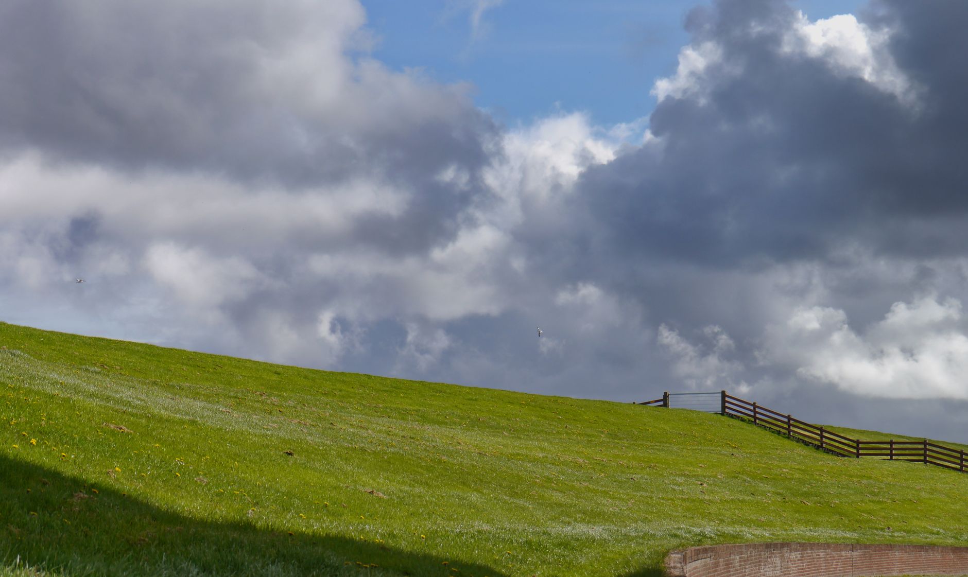
- Dike condition: UMass extension guidance notes that dikes need stabilizing against erosion and that peat compresses under dike weight, so know which sections are already weak.
- Prior imagery: past flights, thermal or multispectral data give you a baseline to compare against.
Is a single-section pilot worth it before a full program?
If most of the answers above are favorable, a single-section pilot is a low-risk test. Fly one stretch of dike after a wet season, time the flight, analysis and crew checks separately, and compare the flags with what the crew actually finds.
If the flight window is narrow and nobody on your team can review imagery, keep the walk as the main method and add the drone later, once a season of comparison shows it earns its place.
Frequently asked questions
Want a drone at your cranberry bogs?
Tell us about your site. We will recommend the robot, quote the lease, and keep it serviced.
Sources
- USDA Economic Research Service, Charts of Note
- WisBusiness
- USDA NASS New England 2025 fruit release
- KSAL, Drones Can Improve Crop Scouting
- HPJ, Drones can improve crop scouting, reduce labor
- Frontiers in Environmental Science, groundwater seeps on a former cranberry bog
- Parkland College, Part 107 summary
- UMass Cranberry Station, UAS research and extension