
The question, in the buyer's words
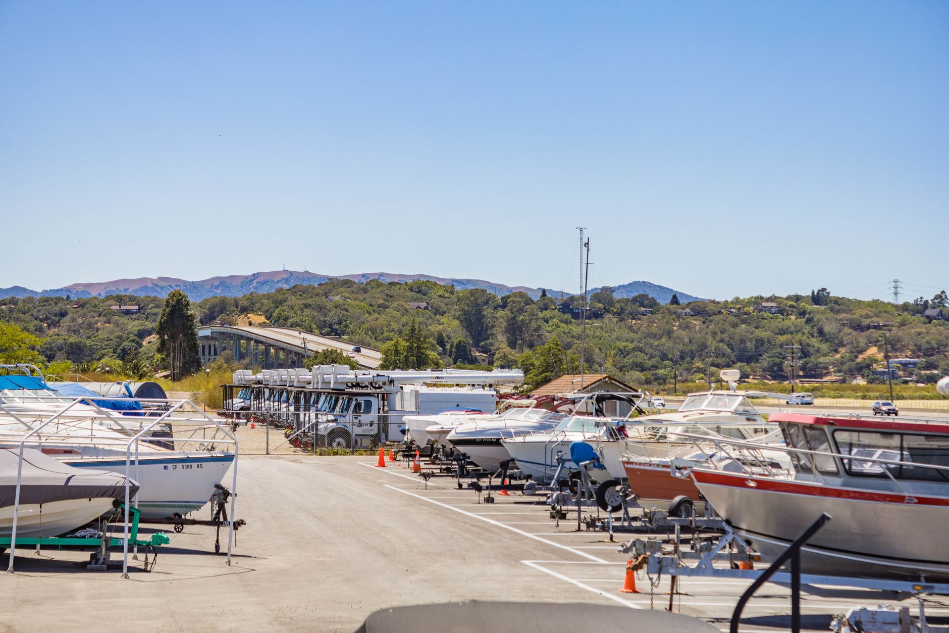
Our 1,400-space RV and boat storage lot on the coast floods and tears tarps after every big storm, and we find damaged units days later; could drones fly the rows right after a storm and flag flattened or flooded units?
Key takeaways
- A drone pass can show flattened covers, torn tarps and standing water from above, covering every row in one sweep.
- Flood depth and interior damage still need a person at the unit.
- Flights beyond visual line of sight need an FAA waiver, and the Part 108 rule was not in effect in the latest source I found.
- The real gain is finding the worst units the same day instead of days later.
- Start with a free site assessment and a trial on one lot, timed against the walk.
Can drone checks find RV and boat storage lot storm damage the next day?
The problem you describe is a timing problem. A lot this large takes too long to walk after every storm, so a flattened cover or torn tarp can sit unnoticed for days. By the time the owner hears about it, water has done its work and insurance timelines have already started running.
A drone check means flying the rows after the storm and reviewing the images for damage that shows from above. In practice that covers flattened covers, torn tarps, units knocked off their stands or sitting in standing water, fallen fencing, and debris across lanes. One flight sequence covers every row, which is the main gain over a walk that stops at each unit.
The drone does not replace the walk. It produces a ranked list of units to inspect, so staff go straight to the rows that matter. Whether a flight is possible at all depends on wind, wet ground, light and the flight rules covered below.
How many RV and boat storage lots and stored units are there in the US?
No published count isolates coastal RV and boat storage lots, and I did not find one. The nearest measures cover the wider self storage market. According to IRR's 2026 self storage report, the US has an estimated 58,000 to 65,000 self storage facilities, depending on the source, and IRR calls that an industry estimate rather than an official count. Self Storage Almanac data reports the national count rose from 52,301 to 57,981 and says it may be an undercount.
On the vehicle side, Camperfaqs, citing the RVIA 2025 Go RVing owner study, reports that 8.1 million American households own an RV, 6.7% of vehicle-owning households. That study changed method from earlier years, so it is not directly comparable with older counts. For boats, the NMMA registration statistics page reports 11.8 million registered and documented boats for 2024, plus an estimated 3.6 million non-registered and non-documented boats. Florida alone had 1.2 million registrations, 10% of the total.
Read these as demand size, not lot counts. They show how many owners have stock that a storm can damage, which matters if you run more than one site. They do not tell you how often a given coastal lot takes a hit.
Your own count matters more than any national figure. Count your units, the rows they sit in, and how many were damaged after your last three or four storms. That number tells you whether a drone pass pays back on your lot.
What can a drone actually flag: flattened, torn, or flooded storage units?
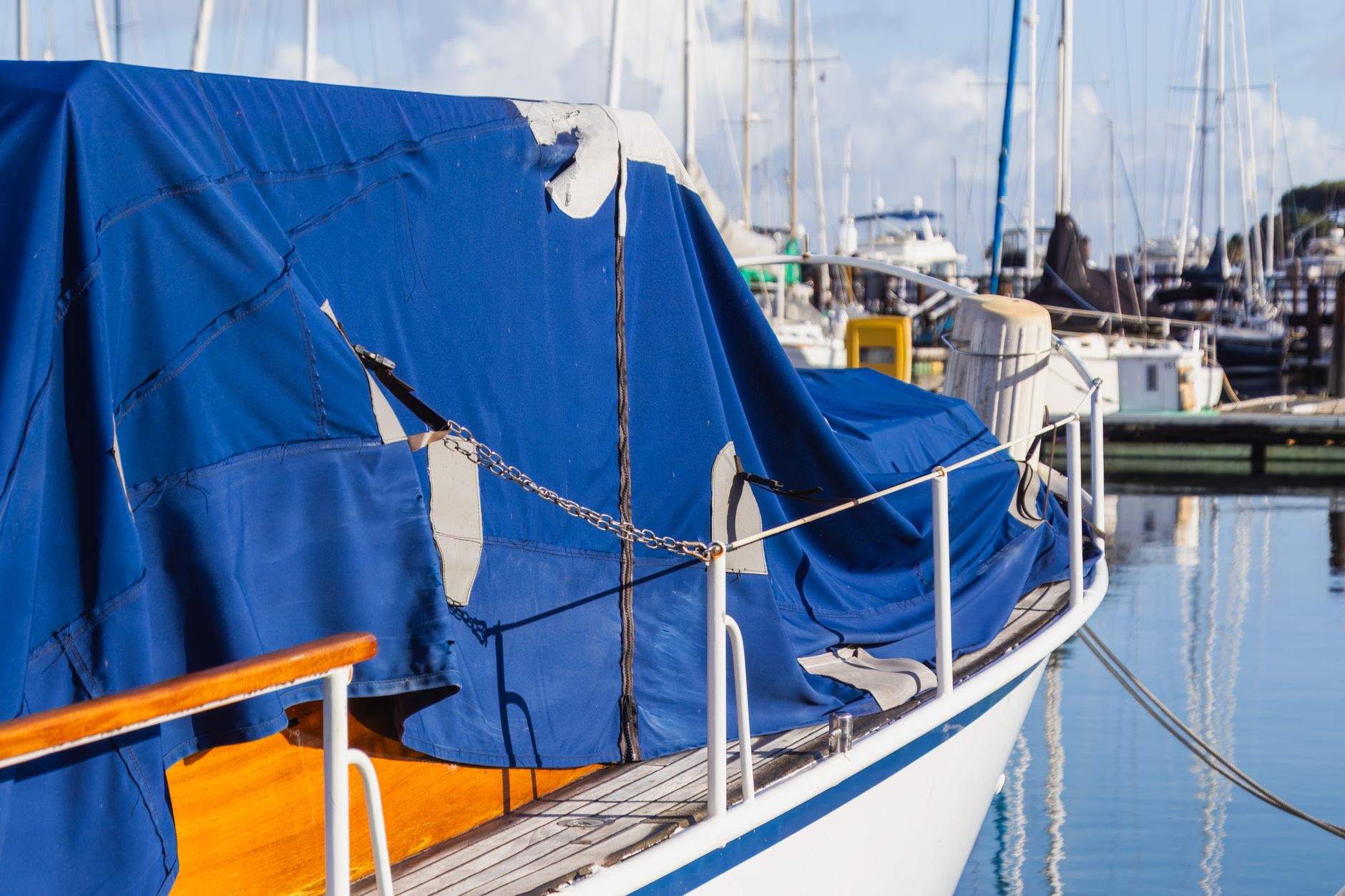
From the air, a drone sees the outside of things. Flattened covers and collapsed carport canopies are usually visible. Torn tarps show as lifted or ripped material, often with cover material showing underneath. Standing water shows as a sheen or pooling around trailer tires, boat cradles and the low corners of the lot, so a drone can flag a unit as possibly flooded.
Flagged is not confirmed. A puddle near a trailer does not tell you whether water reached the interior, the engine compartment or the floor of a boat. Those checks need a person at the unit and the owner's record of what is stored inside. Treat the flag as a sorting step, and label each image with its unit number so staff can match it fast.
Image quality decides what the drone can flag. A higher altitude or poor light can hide a torn tarp that a closer pass would show, so set altitude and flight pattern on the first flight and keep them the same for every post-storm pass. Photos taken before storm season give you a baseline, and a damaged unit is far easier to prove against a picture from before the storm.
Scale matters too. On a lot of 1,400 spaces, one pass produces many flags, and most will be minor, such as a cover that moved but held. Agree on what counts as urgent before the first storm, such as open tarps, water at the unit or a unit off its stand, so the list stays short enough to act on the same day.
Can a drone fly the rows right after a storm, and what rules apply?
Often not right away. Wind, wet surfaces and debris after a storm can each make a flight unsafe, and the pilot has to make that call on the day. Agree a go or no-go rule before storm season, so nobody decides in the middle of the cleanup.
The rules matter as much as the weather. Commercial drone flights in the US generally operate under Part 107, which requires a remote pilot certificate. Flights beyond the pilot's visual line of sight still need an FAA certificate of waiver. The Part 108 rule for those flights was not in effect in the latest source I found, which is dated August 27, 2026, so check the FAA's status before you build a plan that depends on it.
Night flight adds limits. Under Part 107, night flight requires anti-collision lighting and specific training. Some FAA waivers allow night operations with alternate lighting and altitude caps. One individual waiver I reviewed capped flights at 230 feet above ground level. That is one waiver, not a general rule, so read it as an example of what a waiver can say and not as what you will receive.
How much faster is a drone damage check than walking the lot?
The best speed evidence comes from roofing, not storage lots. Patch, a local news site, reported on a roofing contractor who said a drone infrared assessment took one night, against two to three nights done manually. That is one company's account, not a controlled study, and it concerned roofs.
Insurers are moving the same way. According to a risk readiness survey published in November 2024 and reported by Claims Journal, 90% of insurers use plane-based or drone-based aerial imagery. The survey does not separate drones alone, so read it as a sign that aerial records are now routine in claims work, not as a measure of drone use.
I did not find any study that measured drone time savings for flattened or flooded RV and boat units, or for tarp damage. Plan a short trial on your own lot and time all three steps together: the drone pass, the review and the staff walk. That full loop is what matters to an owner waiting on a claim.
What does a post-storm drone pass look like, step by step?
Before storm season, photograph every row from the air and tie each unit number to a map. That baseline is the most useful thing you can do, because it gives you the before picture for any damage claim.
After the storm, wait for conditions the pilot has cleared, then fly the same route as the baseline at the same altitude. Review the images the same day. Sort flagged units into urgent, such as open tarps or standing water near the lowest rows, and check later, such as a loose corner that looks stable.
Staff then walk the urgent list first and photograph each unit on site. Log what they find against the aerial image. That record answers the owner's first question, which is what happened and when you knew.
Build the timing into the plan. Owners often ask how long a damaged unit sat before anyone knew. A same day review gives you a time stamped record, so keep the flight log, the image export and the staff walk log together in one folder per storm. That file is far easier to assemble than a set of phone calls.
Where does Service Robot Co. fit in a drone storm program for storage lots?
Service Robot Co. is a full-service commercial robot integrator for US businesses. We are OEM-neutral, so we pick the right robot for the site across manufacturers, then lease it through financing, deploy and integrate it, train your staff, and service each unit under RoboCare, our service plan, backed by regional service engineers in every state we service. One partner covers the whole lifecycle.
For a storage lot, the first step is a free site assessment. We look at row layout, signal reach to the far rows, airspace near the site and where the staff walk fits. The lease quote follows that assessment, so the terms reflect your lot rather than a generic plan. If a drone is not the right tool for your lot, we will say so, including when the rules, the weather pattern or your row layout rule it out.
A sensible start is one leased unit on a single trial lot, timed against the walk, before you decide on a larger program.
What should you check before you decide?
Several checks can settle the answer before any drone flies. Work through them with your insurer, your pilot and your staff.
A drone is the wrong fit if your main need is interior checks, if the lot is small enough that a walk takes little time, or if the rules and weather keep flights grounded for most storms. In those cases a tighter storm checklist and a clear routine for notifying owners may do more good.
Ask your insurer for the position in writing before you rely on aerial images. A general industry survey is not an answer for your policy, and the written reply is what you will need if a claim is disputed.
- Your insurer's written position on aerial images as claim records.
- Airspace near the lot and any authorization it requires.
- Whether your pilot holds the certificate and training for your flight plan.
- Signal reach to the far rows and to the staff walking them.
- Staff time to clear the flagged list on the day of the storm.
- Lot size and layout: a small lot where a walk takes minutes may not need a drone at all.
Frequently asked questions
Want a drone at your outdoor RV and boat storage lots?
Tell us about your site. We will recommend the robot, quote the lease, and keep it serviced.
Sources
- IRR Viewpoint, Self Storage Report 2026
- Self Storage Almanac, section 1 industry data
- Camperfaqs, RV statistics and trends
- NMMA, U.S. Total Boat Registration Statistics
- AIN, FAA BVLOS overhaul approaches finish line
- FAA certificate of waiver, individual night operations example
- Patch, Elgin Illinois roof inspection drone report
- Claims Journal, risk readiness survey, November 2024