
The question, in the buyer's words
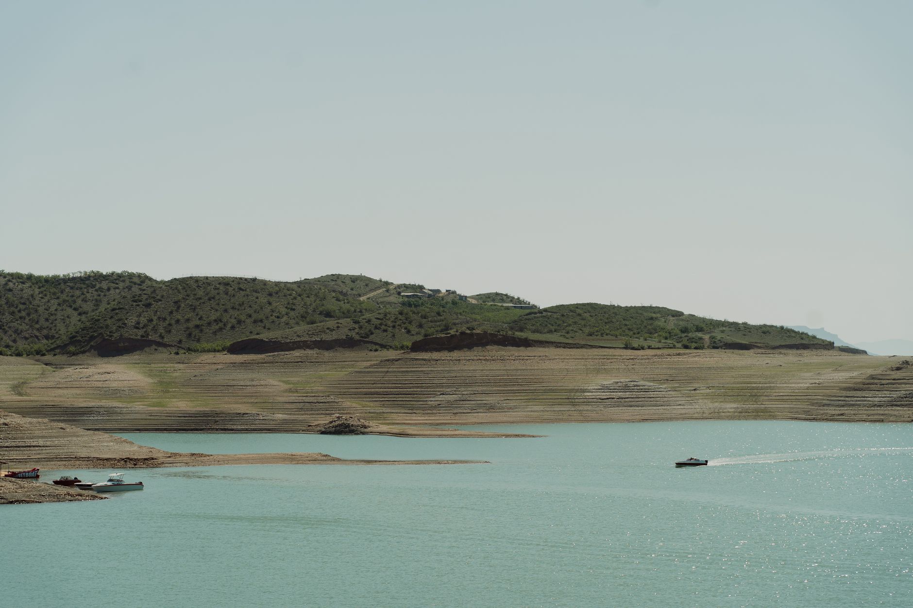
Our city drinking water reservoir has 22 miles of shoreline, and staff walk it monthly looking for bank slumps and illegal dumping; could drones fly the shoreline and flag slumps and dumped material before the next high-water season?
Key takeaways
- Repeat drone flights compare the same shoreline route across dates, which makes new slumps easier to see.
- Drones flag candidate slumps and dumped material; they do not confirm bank stability or what the material is.
- Dense brush, water edges and reservoir level all reduce accuracy, so some reaches still need a walk.
- Flights beyond visual line of sight need an FAA waiver today, so check airspace before you schedule.
- Build the baseline before high-water season; every later flag is measured against it.
Can drone checks spot slumps and dumping on a reservoir shoreline?
A monthly foot patrol walks a path and sees what lies beside it. On a 22-mile reservoir shoreline, most of the bank is out of view from that path, and a slump often shows up first as a fresh crack, a bulge near the toe or a line of disturbed ground. Drone checks change the question from what a walker happens to notice to what has changed across the whole shore since the last flight.
Two features make the approach useful for a watershed manager. The flight path can repeat exactly, so each flight is comparable to the one before it. The output is a surface model you can measure against a baseline, which makes small movements visible before they become a failure. The flight does not decide what a change means, and that judgment stays with engineers and field staff.
Timing matters as much as method. High-water season can make banks fail quickly, so the baseline should exist before that season arrives, and a repeat flight after each major storm or drawdown is what turns the data into an early warning.
What can drones actually see on a reservoir bank?
Drones carry cameras and, on some missions, laser scanners. Repeated flights produce orthomosaic images and digital terrain models, and comparing those models across dates shows where the ground has moved. A Colorado city utility reported that its drone team compared 2024 and 2025 aerial imagery and digital terrain models to track shoreline erosion at a reservoir, according to a public power trade periodical. The utility did not publish erosion measurements or repair results, so the case shows the method works, not what it saved.
Research on reservoir shorelines points the same way. A study of Starvation Reservoir found that terrain above the normal water line changes as levels move, with erosion and deposition concentrated in inlet delta areas. The authors noted that drones reach remote shoreline that is hard to survey on foot. For a manager, the reaches most likely to change are often the ones the patrol path skips.
Long-term shoreline work also relies on drone imagery as a base. A U.S. Geological Survey report on Lake Sharpe in South Dakota covers shoreline erosion from 1966 to 2015 and includes a shoreline base map generated from drone imagery. Change over that span is only readable when the base is consistent, and that is the same discipline a reservoir baseline needs.
How well do drones find illegal dumping along a shore?
Dumped material is easier to see from above when it sits in the open. The England Environment Agency announced in February 2026 a fleet of 33 drones with laser mapping to detect subtle elevation changes that may indicate buried or recently deposited waste, according to a March 2026 law firm briefing on the announcement. The method looks for the shape of disturbed ground, which matters when the material is buried or covered.
Victoria's EPA reports that drones with LIDAR can spot dumping through dense vegetation, and it works with land managers through an illegal waste dumping taskforce. Laser returns can pass through gaps in canopy to the ground, which suits brushy banks better than a camera alone. A dump seen once is a snapshot. A dump compared against an earlier surface shows when it arrived, which is the question enforcement and cleanup crews need answered.
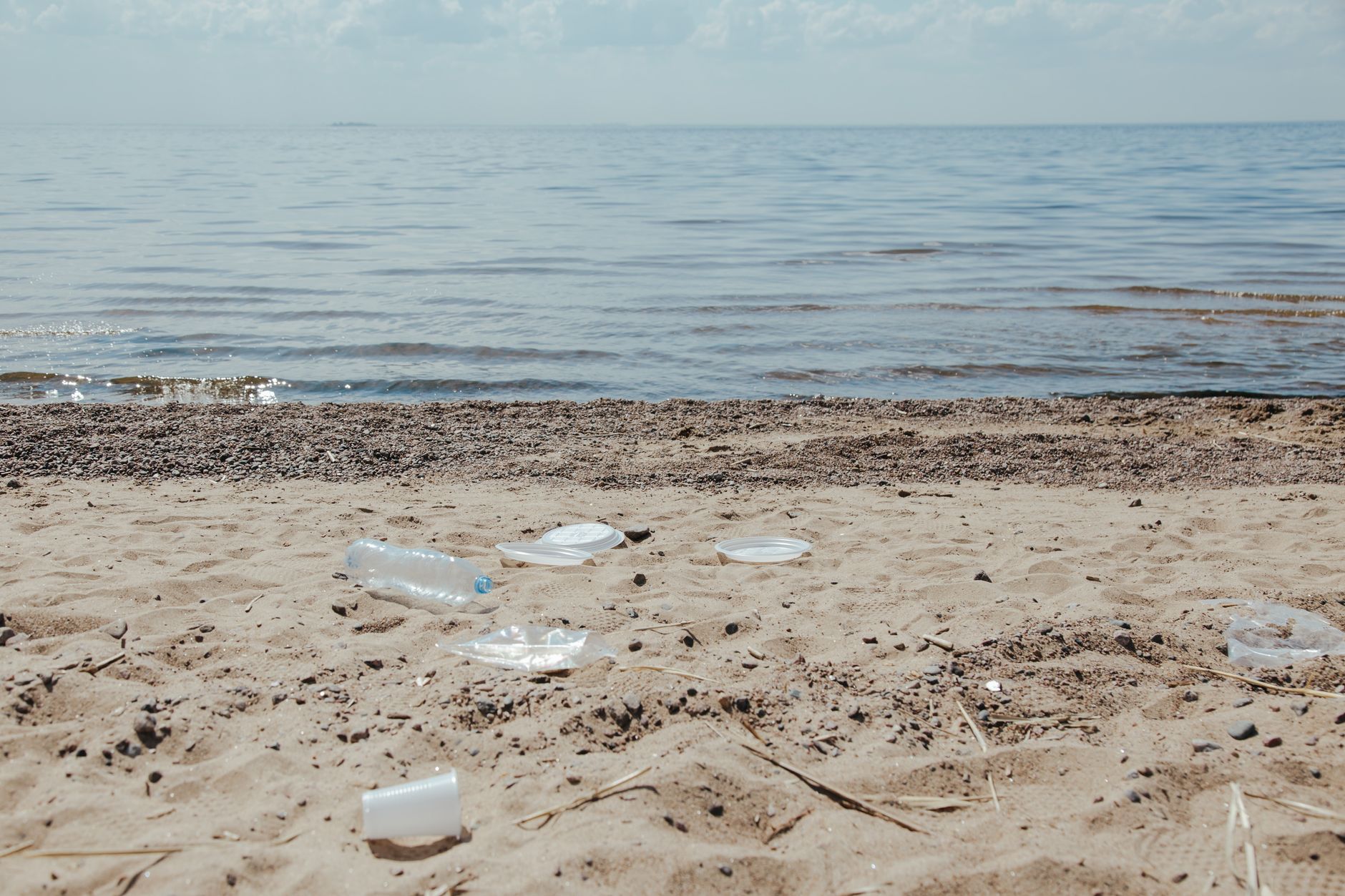
No study specific to a drinking water watershed turned up in this review. Expect to test any method on your own shoreline, with known test piles placed at the water edge and under cover, before relying on it for enforcement or source-water decisions.
What limits a drone check on a drinking water reservoir?
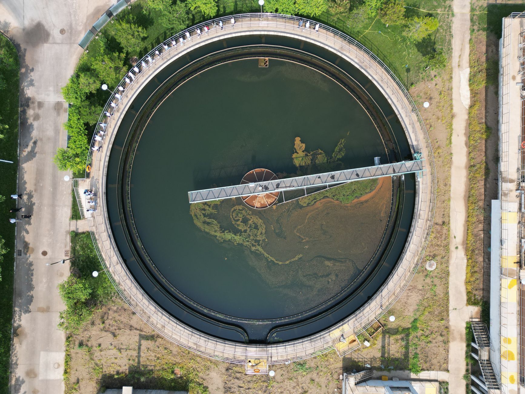
Accuracy at the water edge is the first limit. Structure-from-motion methods built from UAV photos struggle to capture water boundaries and dense vegetation accurately, and water level alone can distort change detection unless survey timing accounts for it. A flight at low drawdown and a flight at full pool can show different shorelines even when the bank has not moved, so every survey date needs a logged reservoir level.
Airspace and rules are the second limit. Part 107 still governs visual line of sight flights under 400 feet, according to commercial UAV coverage of the FAA rulemaking. Beyond visual line of sight flights still require an FAA waiver outside programs such as BEYOND. The proposed beyond visual line of sight rule, Part 108, had not taken effect in the sources reviewed, and the statutory deadline of January 16, 2026 was missed. Confirm the status on the Federal Register or the FAA site before you schedule anything.
Vegetation and access are the third limit. Dense brush can hide dumped material from a camera, and a slump under canopy can be missed the same way it is missed on foot. Shoreline access may require crossing private land or restricted areas, and flights over water may fall under watershed authority rules. Settle these before the first flight, not after.
- Water edge and vegetation accuracy
- Airspace and waiver rules
- Shoreline access and private land
- Survey timing against reservoir level
Is a drone check better than the monthly foot patrol?
Neither method replaces the other on a reservoir. A drone repeats the same survey, covers shoreline out of sight from the path, and gives a record that compares one date with another. A person judges soil, reads the bank, notices odor or leaks, talks with the public and decides how urgent a slump is.
The practical model is a drone flight to find and flag, followed by a foot crew to verify and record. The patrol route can then shrink to flagged reaches and the areas a camera cannot see well, which saves walking time without giving up ground truth. The table below sets out where each method wins.
A drone check also does not replace the record a foot patrol keeps. Patrol logs, photographs and complaints from the public give context a surface model lacks, such as a dumped load that appeared between two flights or an odor complaint at a cove. Feed those observations into the same record as the flags so that the map and the field notes tell one story.
- Repeating the same survey
Drone
Flies the same route at the same altitude each time, so visits compare cleanly.
Staff
Walks a path that drifts with weather and crew habits, so visits vary.
- Reaching remote shoreline
Drone
Reaches inlets and coves that are hard to survey on foot, per the Starvation Reservoir study.
Staff
Can get down the bank and into cover where a camera cannot see.
- Judging bank stability
Drone
Shows surface change and cracks, but not soil strength or the cause of movement.
Staff
Reads soil, moisture, undercutting and the feel of the bank, then decides how urgent it is.
- Spotting dumped material
Drone
Laser mapping can flag disturbed ground, including some material under cover.
Staff
Recognizes what the material is, spots hazards such as containers, and judges whether it is recent.
- Access and legal limits
Drone
Needs airspace clearance, waiver status and landowner permission before it flies.
Staff
Usually works within existing access rights and needs no airspace clearance.
How many US drinking water systems face this kind of shoreline risk?
The US has a very large number of public water systems. A CDC-hosted archive of an EPA-style fact sheet reported about 155,693 public water systems, of which 52,110 were community water systems, described as about a third of the total. The community water system figure is the more relevant base for a utility serving a city.
Counts shift as systems merge, close or change category, so take the present number from EPA's Safe Drinking Water Information System. No 2025 or 2026 count turned up in this review. The point for a reservoir manager is that many utilities share the same monitoring gap, and a repeatable survey method can be copied from one system to the next.
Drone programs at utilities are growing in scope. A Colorado city utility reported that its drone program inspected 1,102 utility poles in less than a year, about 28% of all poles in the city, after launching in July 2024, according to North Forty News. Those were poles, not shorelines, but the example shows how quickly a small team can build a repeatable inspection routine.
What does a drone shoreline program look like before high-water season?
Start with a baseline. Fly the full 22 miles on a repeatable route, log the reservoir level and weather, and build a surface model that becomes the reference for every later comparison. The baseline should be finished before the water rises, because a survey taken during high water shows the banks in their most stressed state.
Then schedule flights around events rather than the calendar alone. A flight after a major storm, a sharp drawdown or a high inflow gives the best chance of catching slumps while they are still small. Flights between events confirm that quiet banks stay quiet and that new dumps are caught before they grow.
Set up the flag and verify loop in advance. Software compares each new surface with the baseline and marks changed areas above a set threshold, and staff verify those marks on foot within a fixed window. The day below shows how a single flight fits that loop.
Staff roles need to be written down before the first flight. Name the person who approves each flight, the person who checks data quality and the person who signs off a flag as verified. A program with those roles written down survives staff turnover, which matters when the people who walk the shore today may not be the ones who run the next high-water season.
What should a watershed manager check before committing to drones?
Before any lease or contract, confirm the basics that decide whether drones fit your reservoir. The checklist below lists what changes the answer, and each item can turn a workable program into a stalled one. Check them with legal and engineering staff early, not after the first flight.
Decide who owns the data and who acts on it. A flag with no owner waits for the next patrol, while a flag with a named owner and a response plan can be acted on before water rises. Use the same checklist to test any provider's answers, including how they handle flights that fall under waiver rules.
Ask who holds the insurance and who answers when a flight is cancelled by weather or by a change in airspace. Those answers decide whether a regular schedule actually runs, so they belong in the written agreement before any flight is booked.
How would Service Robot Co. set up and lease a drone shoreline program?
Service Robot Co. is a full-service commercial robot integrator for US businesses, and we are OEM neutral, so we pick the right equipment for the site rather than one manufacturer's line. We lease robots through financing, deploy and integrate them, train staff and service every unit under RoboCare, our service plan, backed by regional service engineers in the states we cover.
For a reservoir, the first step is a free site assessment. We would look at shoreline access, airspace and waiver status, vegetation, reservoir level patterns and survey timing, then recommend whether drones, a different robot, or a combined foot and drone plan fits each reach. If drones are not the right fit for part of the shore, the assessment will say so.
The lease payment comes in a quote after that assessment, through financing, so it reflects the reservoir you actually have. Ask the quote to name who flies the missions, who processes the data and who verifies each flag on foot, because those three steps decide whether a flag becomes a repair.
Frequently asked questions
Want a drone at your drinking water reservoir shorelines?
Tell us about your site. We will recommend the robot, quote the lease, and keep it serviced.
Sources
- City of Loveland utility drone program, Public Power periodical
- North Forty News, drone program coverage
- Starvation Reservoir shoreline study, Remote Sensing (MDPI)
- USGS Scientific Investigations Report 2018-5058, Lake Sharpe shoreline
- Clyde & Co briefing on Environment Agency drone crackdown
- Victoria EPA, dump spotting drones
- CDC archive of EPA public water systems fact sheet
- Commercial UAV News, FAA BVLOS rulemaking deadlines