
The question, in the buyer's words
Our state highway department has about 300 culverts under rural roads in Maine that flood every April, and crews dig them out to inspect; could drones check culvert inlets and outlets from above and flag collapsed or silted pipes before anyone digs?
Key takeaways
- A drone is a screening tool for inlets and outlets, not a full replacement for a dig-out during April high water.
- The Maryland highway test covered straight culverts 50 to 150 ft long and 12 to 48 in in diameter.
- Standing water is the main limit, because a drone must stay above the waterline.
- UMaine says the average Maine town has about 90 culverts under public roads, so the list has to be ranked.
- Flights beyond the pilot's visual line of sight need an individual FAA Certificate of Waiver.
Can a drone check Maine culvert inlets before spring floods?
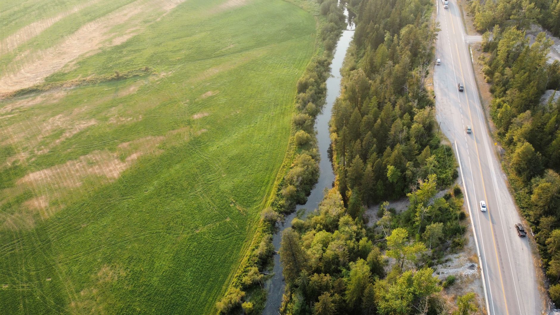
For a state highway maintenance engineer, the useful question is less whether a drone can fly over a culvert and more which openings you can clear without a crew in the ditch. A drone gives a fast overhead view of each inlet and outlet, where collapsed headwalls, crushed pipe ends, shifted stone, and piled debris usually show first. Those are the signs that tell you a culvert needs attention before spring floods arrive.
The honest limit is water. Spring flows fill many culverts, and a drone has to stay above the waterline, so it cannot show the pipe floor or a crack below the surface. Drone checks can therefore shorten the list of culverts you dig out, but they do not remove hand inspection on the pipes they cannot read.
What did the Maryland culvert drone test show?
The clearest public test this research pass found comes from the Maryland State Highway Administration and the University of Maryland. According to report MD-21-SHA/UM/5-35, a caged drone flew four culverts on MD-235 in St. Mary's County on May 12 and 13, 2021. The targets were straight concrete or corrugated metal culverts, 50 to 150 ft long and 12 to 48 in in diameter.
The report describes the work as a strong proof of concept for video culvert inspection by drone, up to a certain culvert length and in certain conditions. It also recommended continued testing under varying conditions. MDOT planned to use the method for high-priority culverts under major corridors, which is the same screening role you are weighing.
Two limits matter for Maine. The test covered four culverts in one county, and the flights were in May, so it says little about a pipe running at full spring flow. Treat it as proof that the method can work in straight pipes, not as proof that it works across a whole state's stock of culverts.
How many culverts does Maine have to check?
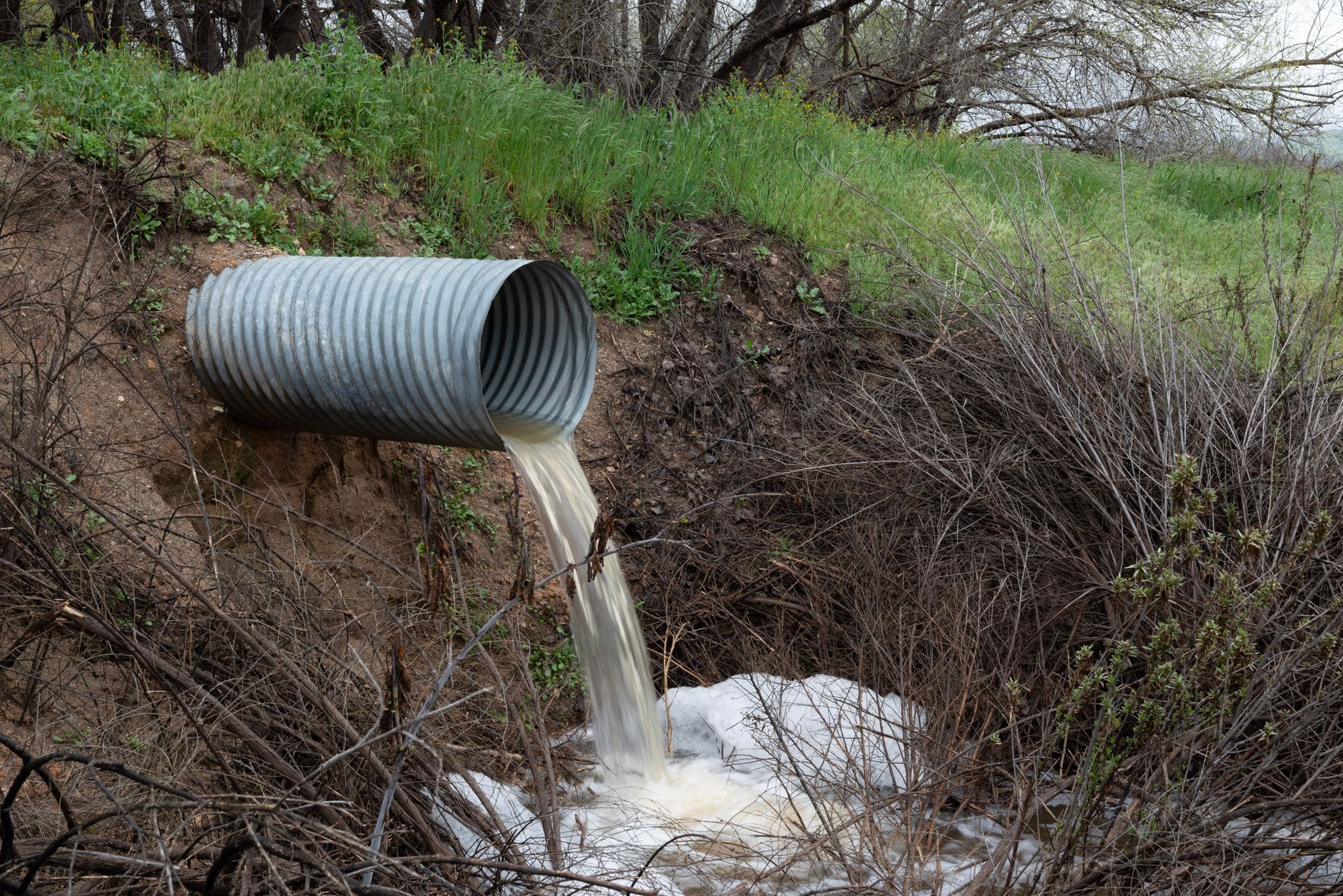
According to the UMaine Mitchell Center, the average Maine town has about 90 culverts under public roads, or about 2 per mile of stream. That count covers all public roads, not only state highways, so it shows the scale of the problem rather than your own inventory.
A central Maine news report puts the number of Maine road culverts in danger of being overtopped at about 2,300. The date of that report was not confirmed in this research pass, so verify the figure with MaineDOT before you cite it internally. The same report says four culverts failed in heavy storms in Jay and Cyr Plantation, though the year was not confirmed either.
We did not find a published total for culverts on the MaineDOT state highway system, and that is the number you need for a route-by-route plan. Your own asset records, starting with the roughly 300 culverts you described, are the better base for a screening schedule.
Why do April floods make culvert checks urgent?
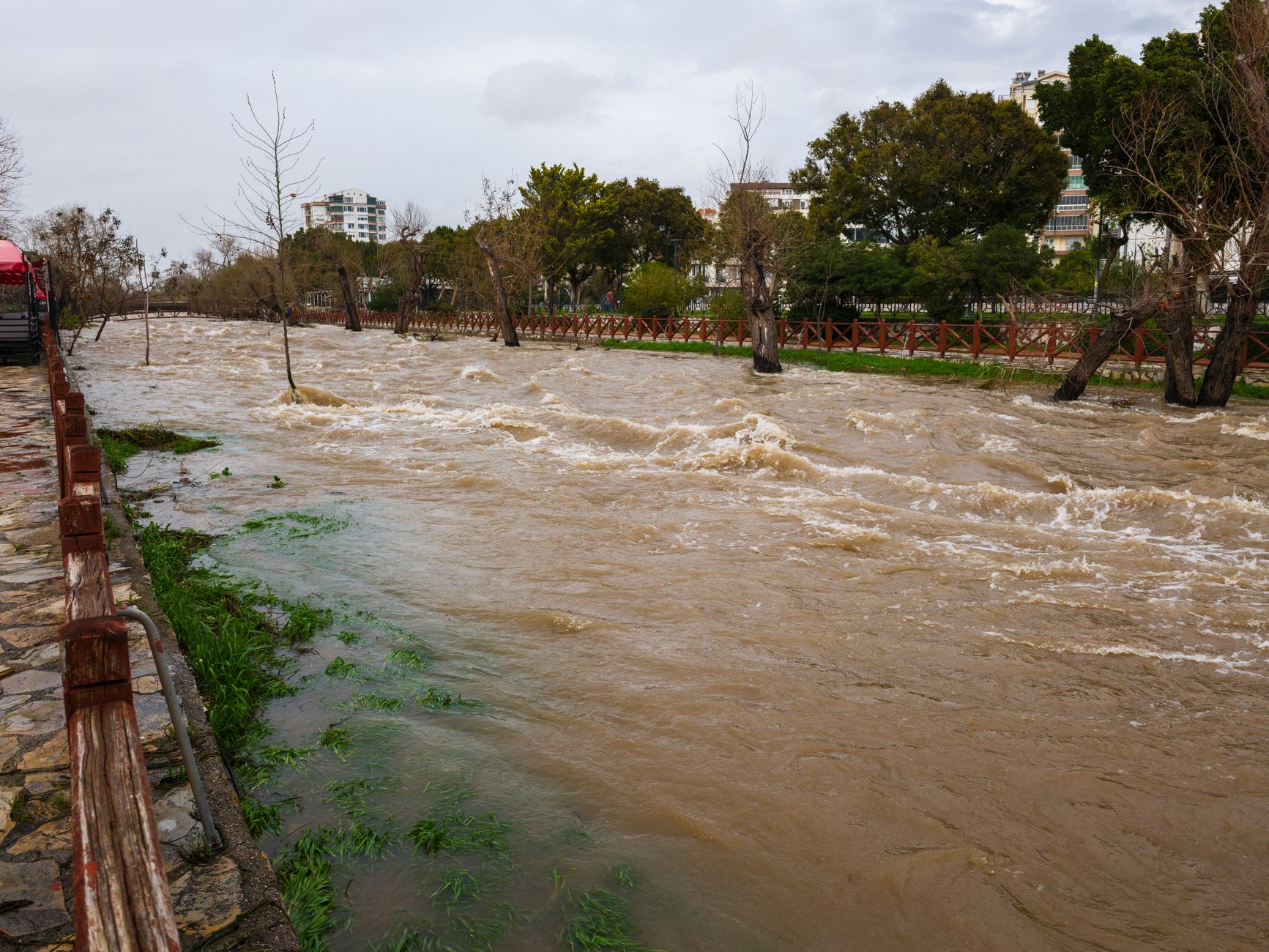
Ice and high water are the usual triggers, and both can arrive within a single spring. A National Weather Service outlook dated April 10, 2025 said the ice jam threat had ended for eastern and northern Maine, so the timing of your check matters as much as the check itself.
Conditions can be worse than a single year. A March 2026 news report said Maine had its most widespread and thickest ice since 2015. Heavy ice and debris at an inlet are the kind of damage an overhead view can catch quickly, before a crew has to dig in cold water.
The state is also planning for bigger events. A Maine television news feature quoted the MaineDOT chief engineer on upgrading systems to handle 100-year storms and installing larger culverts. Overtopping can hide a washed-out road, because standing water conceals the gap, so a fast check of each inlet and outlet has a driver safety purpose as well as a maintenance one.
What can a drone see at an inlet and outlet, and what does it miss?
From the air, a drone sees the opening, the headwall and apron around it, and the bank that holds the pipe end. These are the findings most likely to change a work order. Treat the list below as a set of things to look for, since this research did not measure defect rates at any Maine culvert.
Inside the pipe, the view depends on access and water. The Maryland test covered straight pipes up to a certain length, so bends and offset joints fall outside what that study tested. A culvert running full hides its floor, and the camera may only show the water surface.
Silt is the hardest call. Settled silt narrows the flow area, but a camera over running water may show only the surface. Confirm silt with a probe or a manual look wherever an inlet shows ponding or a clear fill line, and treat a clean drone result as a screening result, not a closed one.
- Collapsed or sagging crown visible at the opening
- Crushed or displaced pipe end
- Cracked or displaced headwall
- Bank erosion undercutting the pipe end
- Brush, ice or debris wedged across the opening
What do FAA rules require for drone flights along rural roads?
Drones flown beyond the pilot's visual line of sight are handled through individual FAA Certificates of Waiver, not a general rule change. Typical waivers set aside 14 CFR 107.31 and sometimes 107.33, which covers visual observers. They often require the pilot to know Part 107, keep records, carry a copy of the waiver at the ground station, and sometimes use detect and avoid equipment.
A waiver does not grant airspace authorization under 107.41, so airspace approval is a separate step where it applies. Validity runs on each waiver's own dates. An example issued in February 2025 runs to February 2029, and a waiver for another operator runs from December 2025 to December 2027.
Culvert work also puts crews at the shoulder, and a drone flight does not change the traffic control plan the crew needs. Plan the flight and the roadside work together so the pilot and crew are not working the same lane without coordination.
Drone checks versus dig-outs: how do they compare?
Drone screening and dig-outs answer separate questions. The drone shows which openings look wrong from above, while a crew shows what is inside and below the water. Most agencies will want both, with the order set by the risk you can see from the road.
The comparison below is qualitative, because this research did not find measured inspection hours for Maine culverts. Read each row as a place where one method is strong or weak, not as a claim about time saved.
- Overhead view of inlets and outlets
Drone
Fast, consistent view of openings, headwalls, pipe ends and debris from the roadside.
Staff
Close view once a crew reaches the opening, including hands-on checks of joints and cracks.
- Flooded pipes
Drone
Must stay above the waterline, so a full pipe hides its floor.
Staff
Can clear debris and probe at the waterline when it is safe, with water and traffic controls in place.
- Silt depth
Drone
Shows the surface of settled material, not its depth.
Staff
Can measure depth with a probe or a manual check.
- Bends and long runs
Drone
Tested in Maryland only on straight pipes up to a certain length.
Staff
Can follow bends and offsets with a camera on a rod or on foot, where entry is safe.
- Roadside exposure
Drone
Pilot works from the shoulder under a flight plan and waiver conditions.
Staff
Crew works in the ditch or lane with traffic control and possible lane closures.
- Screening a long list
Drone
Good for ranking many openings before crews go out, once the flight plan is set.
Staff
Slower per opening, because each one needs crew setup and access.
- Records
Drone
Video and images give a consistent record for each culvert.
Staff
Field notes and photos, with quality that depends on the crew.
Where should a Maine highway agency start?
Start with the culverts that matter most. Maryland's plan, as reported, focused on high-priority culverts under major corridors, which is a sensible filter for a Maine agency too. Record each culvert's road class, stream, and any past overtopping or washout, so the drone list is ranked before the first flight. Maine law adds weight to those records, since 23 MRSA section 705, as revised by Public Law 2009, chapter 315, changed MaineDOT oversight of culvert placement, installation or replacement on improved state and state aid highways outside urban compact areas.
Then run a small pilot on culverts you already know. Choose several that were dug out last spring and compare what the drone shows with what the crew found. That gives you a direct measure of where the aerial view misses problems, which no source in this research pass measured for Maine conditions.
Plan flights for the lowest water you can get, which may fall after the spring peak. Keep April dig-outs for the openings the drone could not clear, and log which findings the drone confirmed, since that record is what will justify a wider screening program.
How would a drone lease work for a Maine culvert program?
We are a full-service commercial robot integrator for US businesses. We choose the right robot for each site across manufacturers, lease it through financing, deploy and integrate it, train staff, and service every unit under our service plan, backed by regional service engineers in the states we serve. Whether a drone is the right type for your culverts is part of that choice, and so is whether Maine falls within the service area we can support.
Our process starts with a free site assessment, and the payment comes in a quote after that assessment. In the assessment we would review your culvert list, flight areas, waiver needs, and the water conditions you see in April, then recommend a pilot or a fuller program. Ask how remote triage and on-site dispatch would work on your routes, since a drone that fails during a flood week is only useful if someone can repair or replace it quickly.
Frequently asked questions
Upcoming public sector events
- Trade showAPC/PennDOT/PA Turnpike Fall SeminarNov 18 to 20, 2026Hershey Lodge, Hershey, PA
- Trade showMinnesota Buildings & Facilities Management Trade ShowNov 19, 2026Minneapolis Convention Center, Minneapolis, MN
- ConferenceCASBO CBO Symposium (Executive)Nov 19 to 20, 2026The Langham, Pasadena, CA
- ConferenceVirginia Association of Fairs ConventionJan 14 to 17, 2027Williamsburg Lodge, Autograph Collection, Williamsburg, VA
Want a drone at your rural road culverts and stream crossings?
Tell us about your site. We will recommend the robot, quote the lease, and keep it serviced.
Sources
- Maryland SHA and UMD culvert drone report MD-21-SHA/UM/5-35, July 2021
- UMaine Mitchell Center, Maine culvert counts
- Central Maine news report on Maine road culverts at risk
- Maine television news feature on MaineDOT culvert upgrades
- Maine Public Law 2009 chapter 315, 23 MRSA section 705
- National Weather Service spring flood outlook, April 10, 2025
- March 2026 news report on Maine ice conditions
- FAA Part 107 Certificate of Waiver example, 2025