
The short answer
Drone cost in Charlotte depends on the job more than the aircraft: how much roof or lot area must be covered, what airspace and visibility rules allow, how many flight and staff hours the work takes, and what mapping, data and service surround each flight. This page states no figure because the number depends on your site. A free site assessment is where we map the property and quote a fixed lease payment through financing.
Key takeaways
- Area, height and surface type set how long each flight takes, which drives most of the cost.
- Airspace and a three statute mile visibility floor decide which days a drone can fly in Charlotte.
- Pilot, mapping and data hours often cost more than the flight itself.
- Vendor hour savings are not independently verified, so test them on your own roof.
- We quote a fixed lease payment through financing after a free site assessment.
What is the drone cost in Charlotte based on?
The drone cost in Charlotte is set by the job, not the aircraft alone: how much roof or lot area needs covering, how often it must be flown, what the data has to show, and how many sites are involved. Two businesses with the same aircraft can land far apart, because one inspects a single flat roof twice a year and the other flies several campuses every week.
Charlotte is a large market to test this in. According to U.S. Census Bureau QuickFacts, Mecklenburg County had 36,472 employer establishments in 2023, up from 36,081 in 2022, with 732,418 employees. Many employers means many buildings, lots and roofs, and it also means one business often runs several sites rather than one, which changes the cost per site.
Read the number as four inputs that stack on each other: area, frequency, data work and site count. The sections below cover each one, along with the rules and hidden costs that shift the total.
Which factors raise or lower the cost at a Charlotte site?
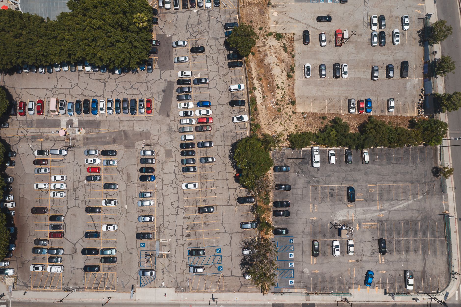
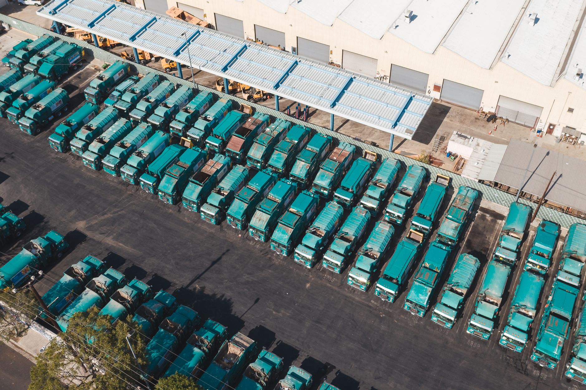
Area and height do the most work. A single-story roof takes a short flight plan and few images, while a multi-story campus roof, a parking deck or a lot with tall light poles needs more passes, more battery changes and more images to process. Surface type matters too, since metal and membrane roofs show wear and seams differently, so the flight plan and camera settings change to match.
Airspace and visibility set the calendar. Part 107 requires at least three statute miles of visibility measured from the control station, according to a regulation summary of 14 CFR 107.51. Charlotte Douglas International sits in controlled airspace, so flights near it need FAA authorization before takeoff. Each limit can push a job into a later window, which adds staff time even when the aircraft barely runs.
Frequency and site count multiply the rest. A yearly survey of one roof is a much smaller job than a weekly flight across six sites. Repeat flights over a mapped site cost less than the first flight, because boundaries and the flight plan are already saved. Summer afternoon thunderstorms are common across the Piedmont, so every schedule needs a weather buffer.
How many hours does a drone save on a roof or lot job?
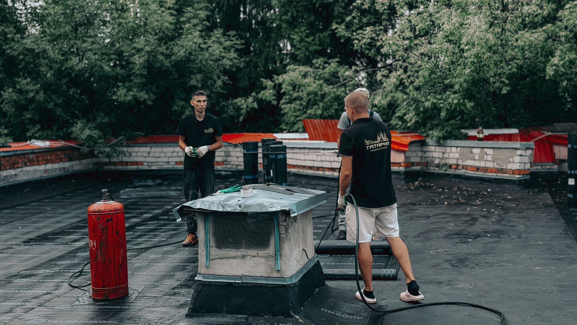
The published numbers come mostly from drone vendors. One drone services vendor reports that a manual roof inspection takes 2 to 4 hours per project, against 10 to 20 minutes of flight, and claims up to 90% time savings, according to its own published figures. Another drone vendor reports a roof job cut from 4 hours to 45 minutes, including travel and flight. These are vendor-reported examples, not independent studies.
Time is only part of the picture. Return trips are where a drone tends to pay back, because a missed photo or an unclear corner costs a second crew trip. Each return trip adds travel, access arrangements and another round of staff time. A flight that captures everything on the first pass avoids that whole cost.
We found no independent or peer-reviewed study of hours saved per roof inspection. Treat the figures above as claims to test, and compare one roof against your crew hours today before accepting any savings number.
What does the Charlotte labor and business base look like for drone work?
Labor is the local constraint. According to the U.S. Bureau of Labor Statistics, 1,340 surveying and mapping technicians were employed in the Charlotte-Concord-Gastonia metro area in May 2023. BLS does not count drone pilots as their own group, so this is the closest published occupation to the people who fly and process drone maps, not a count of them.
Pilot supply is growing. An industry blog citing the FAA Aerospace Forecast for fiscal years 2026 to 2046 reports 493,396 active commercial drone registrations at the end of 2025, and projects 628,600 certified remote pilots by 2030, a 28% increase over 2025. The same source also gives 424,516 active commercial aircraft, so registrations and aircraft are counted differently, and the blog is a secondary source, not the FAA itself.
The businesses most likely to need this are those with many roofs or large paved areas, such as:
The city itself had an estimated 943,476 residents in July 2024, according to a local news report that cites Census-based estimates. Climate and building stock also matter. Afternoon thunderstorms cut flying windows in summer, and a mix of flat and pitched roofs means the flight plan changes from building to building. We did not find local weather statistics in this search, so the quote should rest on your site's real flying days, not a regional average.
- Owners and managers of multi-building campuses
- Warehouses and distribution sites near the interstates
- Healthcare and school campuses
- Roofing and construction contractors
- Utilities with substations and long fence lines
How does leasing through financing work, and what does the quote include?
You lease the drone through financing rather than funding the aircraft from your own capital budget. We select the aircraft and configuration for the site, lease it through financing, deploy and integrate it, train your staff, and service it nationwide. The quote is a fixed lease payment, produced only after a free site assessment, so it reflects your roofs, lots, airspace and site count rather than a generic model.
A quote should show each part in writing: the lease payment, mapping and integration, training, service and how faults are triaged, the lease term and any early termination terms, and what is excluded. Ask whether a spare unit covers downtime, because a grounded drone means a missed inspection and a second visit.
After signing, the work starts with deployment. We set the flight plans and connect the output to the reporting your team already uses. The aim is for your people to run routine flights and review the data, while we keep the aircraft serviced.
What can a drone not do at a Charlotte site?
A drone does not replace the pilot or the engineer. Commercial flights need a certified remote pilot, and the drone produces images and measurements, not a structural judgment. On a roof it can find surface defects and drainage problems, but it cannot see below the membrane without other tools.
Weather and airspace are hard limits. Rain, low cloud and reduced visibility stop flights, and Part 107 sets the three statute mile visibility floor. Flights near Charlotte Douglas need FAA authorization, and temporary restrictions can change a site's status, so check the FAA's own maps before each job.
It also cannot do interior work without a separate plan, and it struggles under dense tree canopy or inside enclosed parking structures, where the sky and signal are blocked. Survey those sites carefully before promising a schedule.
Is a drone lease worth it compared with a contractor?
It depends on frequency. A roof inspection once a year often fits a contractor better. Repeat surveys across several sites can favor a lease, once staff hours and data work are counted alongside the fixed lease payment.
The savings come from fewer return trips, faster turnaround on maintenance and insurance documentation, and less crew time on the roof. The vendor figures above suggest the time savings can be large, but the local answer comes from your own site count and inspection schedule.
A simple test: count the jobs per year, the crew hours per job, the return trips and the days lost to weather, then set those against the quote. If one site needs one inspection a year, a contractor is probably the better fit.
How do I get a quote for a drone at my site?
Start with a free site assessment. We walk the property, map the areas to be flown, check airspace and visibility limits for the address, and note roof type, access points and who will review the data. The quote follows as a fixed lease payment through financing, with the scope written out.
Gather a short list before you call. Include the number of buildings and lots, roof types, inspection frequency, what the data must show, and who will fly or review it. A clear list gets a quote closer to the real job.
A single-site pilot is a practical way to test the numbers before expanding. It shows the real hours, return trips and weather losses across a full inspection cycle, which is the evidence the rest of the decision should rest on.
Frequently asked questions
Put a robot to work in Charlotte.
We walk your site, learn the job, and recommend the unit that fits. Then we quote the lease, deploy it, and keep it serviced.
Sources
- U.S. Census Bureau QuickFacts, Mecklenburg County, North Carolina
- Local news report on Charlotte population estimates
- U.S. Bureau of Labor Statistics, OEWS May 2023, surveying and mapping technicians
- Industry blog citing the FAA Aerospace Forecast, FY 2026 to 2046
- 14 CFR 107.51 regulation summary
- Drone roof inspection vendor examples, vendor-reported
- Drone roof job vendor example, vendor-reported