
The short answer
The drone cost for cotton farms depends mainly on how many acres must be covered in the window when a field needs attention, how often it is flown, and what the data has to show, such as stand counts or plant-level imagery. Flight altitude, sensor type, mapping and software integration, the number of aircraft and the service arrangements move the figure most at a given farm. Because the same acreage can cost very different amounts depending on those choices, a lease quote follows a free site assessment.
Key takeaways
- Acreage and how often a field is flown set most of the cost, so route planning matters as much as the aircraft.
- Lower flight altitude improves plant detection but covers fewer acres, so altitude is a budget choice as well as a quality choice.
- University research has matched drone stand counts to manual counts closely enough to inform replant decisions.
- Mapping, software, service, insurance and pilot training are costs that a quote should show line by line.
- The lease quote follows a free site assessment, because field layout and data needs drive the number.
What does drone cost for cotton farms depend on?
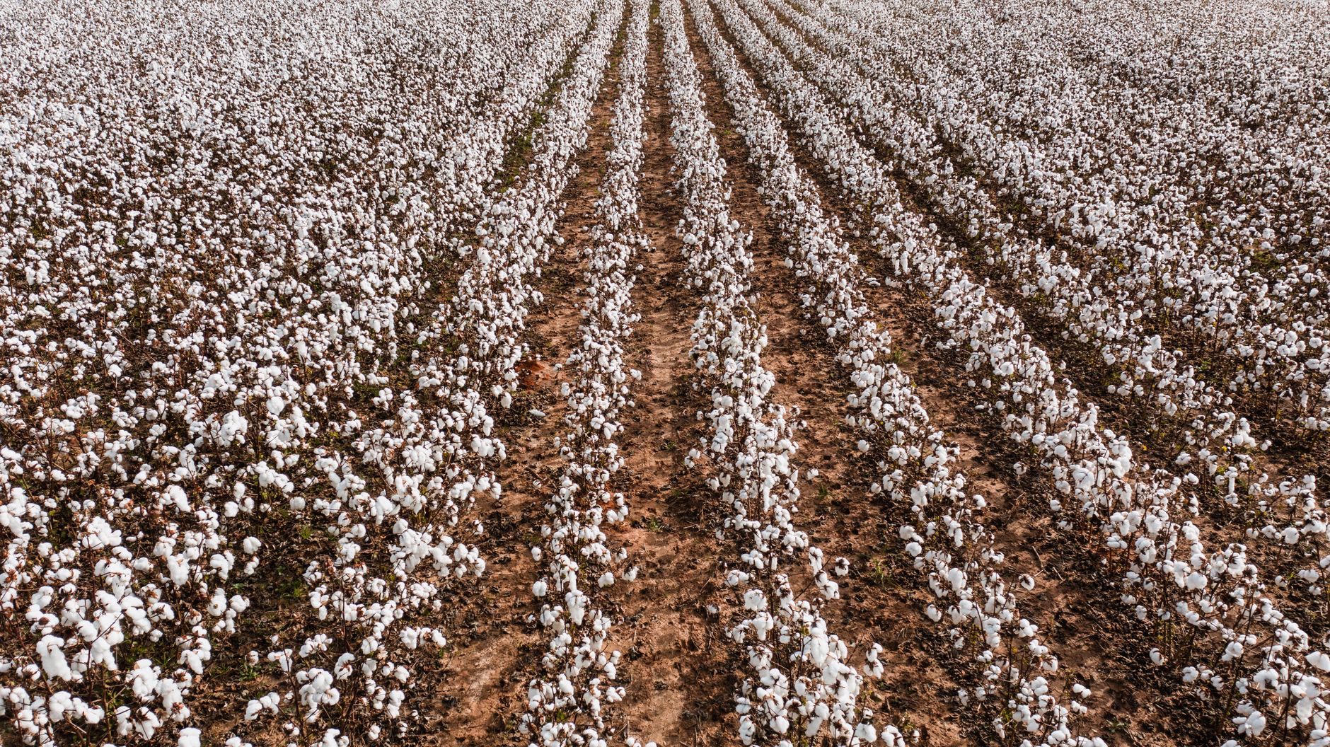
Drone cost for cotton farms is set by the job, not by the aircraft alone. The first question is how many acres must be covered inside the window when a field needs attention, and how often each field has to be flown to catch a problem early. According to the USDA National Agricultural Statistics Service Acreage report of June 30, 2026, total 2026 U.S. cotton planted area is estimated at 9.85 million acres, 6 percent above 2025, with 9.70 million acres of upland cotton and 150,000 acres of American Pima.
Scale changes the math. A flight plan that covers a few fields in one morning is a different job from one that must cover acreage spread over several counties before the next irrigation cycle. Every extra mile between fields, every battery change and every hour of image processing adds to the total, so the cost follows the route as well as the acreage. Two growers with the same acreage can receive different quotes because their fields sit in different places and need different data.
The second question is what the data has to show. A grower who wants a whole-field overview needs different imagery than one who wants plant counts on a few problem blocks. The decision the scouting supports, whether that is a pest call, a replant call or an irrigation check, sets the altitude, the sensor and the processing work. Those choices come before any number on a quote.
How fast is drone use growing on cotton and other row crops?
Adoption is climbing, but most of the hard figures come from industry surveys rather than from a national government count. The American Spray Drone Coalition 2025 Impact Survey reports that U.S. farmers treated 16.4 million acres with agricultural spray drones in 2025, up from 10.3 million acres in 2024 and 3.7 million acres in 2023. The same survey counted 1,710 FAA Part 137 operators as of 2025. Those figures measure spraying, not scouting, but they show how quickly a contracted service market for agricultural drones has grown.
Scouting adoption is lower and harder to measure. The Iowa Farm and Rural Life Poll found that 22 percent of Iowa farmers were using a drone or drone service in 2024, as reported by Farm Progress on April 13, 2026. No official national adoption rate for drones was found in this review, although the USDA National Agricultural Statistics Service began optional drone-adoption survey modules in 2024. For a cotton operation, that means many neighbors still hire drone work out, so a contracted service and a leased aircraft are both real options to compare.
Adoption numbers are useful for one practical reason. A grower who is still deciding can see that drone work is common enough to have established operators, trained pilots and service networks. The question is no longer whether the tool works in the field, but whether a contracted service or a leased aircraft fits the acreage and the timing better.
What makes drone scouting cost more or less on a cotton farm?
Flight altitude is the first technical driver, and it is a budget choice as well as a quality choice. University research on cotton stand counts found that multispectral drone images estimated plant populations with more than 93 percent accuracy against manual counts, and RGB imagery reached more than 85 percent. Those flights ran at 30 to 120 meters, and lower altitude detects plants better but covers fewer acres. A grower who needs plant-level detail over a small block pays for more flight time than one who needs a whole-field overview.
Sensor type and flight frequency set the next layer. A multispectral camera adds processing work compared with a plain color camera, and a weekly scouting cadence repeats setup, flight and data handling across the season instead of once. Mapping turns raw images into stand maps, and that work is either done in-house on the software the grower uses or included in a service. Each of those choices moves the quote, which is why the number follows a site assessment rather than a guess.
Field layout is the third factor. Irrigation lines, pivots, power poles, tree lines and field edges all shape the flight plan. An irregular field with many obstacles needs more manual planning and more careful routes around hazards, and that lengthens the route. A square field with clear access and a single crop stage is the simplest case, and it is the one that keeps the cost predictable.
How much scouting labor does a drone replace?
Ground scouting follows a sampling plan, and those plans are not small. NC State recommends 6 to 10 stops per field, distributed across the field. Virginia Tech says examining 3 to 5 areas of a field, with 3 to 5 stops per area, can give accurate plant bug population estimates. Taken together, the Virginia Tech guidance works out to 9 to 25 stops per field, so a scout covering many fields walks a long route each day before any data is written up.
A drone does not remove the need to check plants on the ground, but it changes which stops matter. Imagery can cover the whole field in one flight plan and show where stands look thin, so ground checks can focus on flagged areas and the sampled stops become a confirmation step. Stand counting is where the evidence is strongest, with university trials matching drone estimates to manual counts closely.
No published acres-per-hour figure for cotton scouting was found in this review, so this page gives stop counts and tasks rather than a labor-hour total. Ask any provider for measured flight and processing times on a field like yours before comparing labor savings. A realistic comparison counts the walking crew, the pilot, the processing and the time from flight to decision, not the flight alone.
Is drone scouting worth leasing for a cotton farm?
Whether it is worth it depends on what the scouting misses now and what a late catch costs. Growers who need whole-field coverage in a short window, or who want stand data before a replant decision, get the most from frequent passes. Growers with a few small fields and a crew that already covers the sample plan may find the gain modest, so the decision should rest on the acreage and timing in front of them.
A pilot season is a sensible way to answer the question. Start with a defined set of fields, fly them on a fixed schedule and compare the stand maps with the ground checks you already run. The comparison will show whether the imagery points to the same problem areas, how long the data took to reach a decision and where the gaps were.
How does a drone lease through financing work with us?
We are a US commercial robot integrator. We pick the aircraft that fits the site, lease it through financing, deploy and integrate it, train the staff who fly and read it, and service it nationwide. The lease payment is fixed for the term and written into the quote.
The quote comes after a free site assessment. That visit maps the fields and access points, identifies the flight plan and the data the grower needs, and confirms whether the work fits one aircraft or several. The quote lists what it includes, such as deployment, integration, training and service, so the grower can compare it line by line with a contracted service.
A few starting points help the process. Begin with one field block or one season, so the flight plan and the data flow are proven before the program grows. Once a system runs well on a few fields, adding acreage is a planning change rather than a new project.
Where does a drone fly on a cotton farm?
Most of the work happens over planted rows and field edges, but the flight plan has to account for everything around them. The zones below show where the drone flies, what it checks and what the site assessment has to record before a route can be set.
What can a drone not do, and how do I get a quote?
A drone cannot replace a ground check where the question is which insect is present, how many are in a sample or why a plant is failing at the root. Imagery shows patterns, and patterns point to where a person should walk. Wind, rain and low visibility stop flights, so the schedule needs room for weather. Plant-level detail also trades against coverage, as the altitude research shows.
To get a real read on drone cost for cotton farms, start with the acreage, the fields, the scouting frequency and the decision each pass has to support. Then book the free site assessment. The quote shows the lease through financing, the fixed payment for the term, deployment and training, and the service that comes with it, so you can check each line against any alternative before deciding.
Frequently asked questions
Want a drone at your cotton farm?
Tell us about your site. We will recommend the robot, quote the lease, and keep it serviced.
Sources
- USDA NASS Acreage report, June 30, 2026
- American Spray Drone Coalition 2025 Impact Survey
- Farm Progress, Iowa farmers and drones, April 13, 2026
- University of Maryland Extension, FAA Part 107 guide
- NC State cotton sampling plans for plant bugs
- Virginia Tech, the value of scouting for plant bugs
- Cotton Grower, drone stand counts in cotton
- NC State, Beltwide Cotton Conferences 2020 paper on drone skip measurement