
Key takeaways
- Drones and crawlers extend visual access, but they supplement rather than replace a qualified bridge inspector.
- Repeatable imagery depends on controlled viewpoints, lighting, scale, camera settings, temperature records, and durable asset IDs.
- Defect tags should identify exact components and preserve original files, not merely mark suspicious pixels.
- Engineer validation determines which observations require hands-on inspection, measurement, testing, or immediate action.
What can robotic imaging actually accomplish?
Drones and crawlers can gather close, repeatable imagery of bridge bearings, expansion joints, beam ends, anchorages, drainage paths, and adjacent concrete without placing an inspector at every difficult viewpoint. Their best role is structural inspection support: document visible conditions, compare them over time, and direct engineers toward locations that deserve closer examination.
A drone can cross gaps and look above pier caps without touching the structure. A crawler can move slowly along a suitable surface, hold a steadier standoff, and carry lighting or a scale reference. Used together, they can reduce time spent in lifts, on ropes, or beside live traffic while creating a richer visual record.
They do not certify structural condition. The Federal Highway Administration says unmanned aircraft may supplement bridge inspections but cannot provide tactile examination, sounding, auditory cues, or live-load response. Qualified engineers and inspectors remain responsible for interpreting evidence and specifying any hands-on follow-up.
Where do drones and crawlers fit around difficult access?
Commercial access bridges and elevated structures rarely offer a clean inspection envelope. Bearings may sit behind diaphragms, beneath low beam seats, above active loading lanes, or beside utilities. Expansion-joint leakage is often most revealing from below, precisely where ladders, lifts, and under-bridge equipment are hardest to position.
Platform selection begins with geometry and risk. Drones suit open undersides, discontinuous surfaces, tall piers, and rapid reconnaissance. Crawlers suit surfaces that provide continuous traction or adhesion, particularly when slow imaging and stable lighting matter. Tethers can aid retrieval, but they can also snag on bracing, bolts, drains, or sharp steel.
Outdoor commercial drone work must also fit Federal Aviation Administration rules. Part 107 generally requires a certificated remote pilot, aircraft registration, visual line of sight, and compliance with rules governing operations over people and moving vehicles. A bridge deck, road, rail line, pedestrian route, and adjacent airspace therefore belong in the access plan, not as last-minute complications.
- Confirm launch, recovery, crawler placement, and emergency retrieval points.
- Map traffic, pedestrians, water, utilities, loose debris, nesting wildlife, and overhead obstructions.
- Test communications and positioning where the superstructure may block satellite signals.
- Define exclusion zones and coordinate closures or escorts before mobilization.
How is a repeatable image set designed?
Repeatability comes from a capture protocol, not from taking more photographs. Assign every bearing, joint segment, beam end, and support line a stable identifier. Then prescribe overview, context, and close views with consistent direction, standoff, focal length, resolution, lighting, and scale reference.
The Federal Highway Administration's 2021 UAS research report found that image positions and camera settings should be recorded so later imagery can be repeated. Its preliminary field recommendations included a 12-megapixel minimum camera, while cited research found defect-detection flight speeds below 3.28 feet per second most effective. The report's broader rule is simpler: slower is better and stationary is best.
Dark soffits can defeat an otherwise capable camera. FHWA testing described near-dark bridge conditions below 50 lux, compared with 200 to 300 lux in a typical room. Added lighting improved fine detail at close range, but it consumes payload and battery capacity. Every mission should include an on-site image-quality check before the crew leaves.
Photographs alone are not automatically survey measurements. Reliable dimensions require a calibrated camera, a scale in the same plane as the defect, known geometry, or properly controlled photogrammetry. FHWA notes that orthorectified imagery has a consistent scale and can support map-like measurement. Unrectified oblique images should be treated as visual evidence, not precision metrology.
What should the camera capture at each bearing?
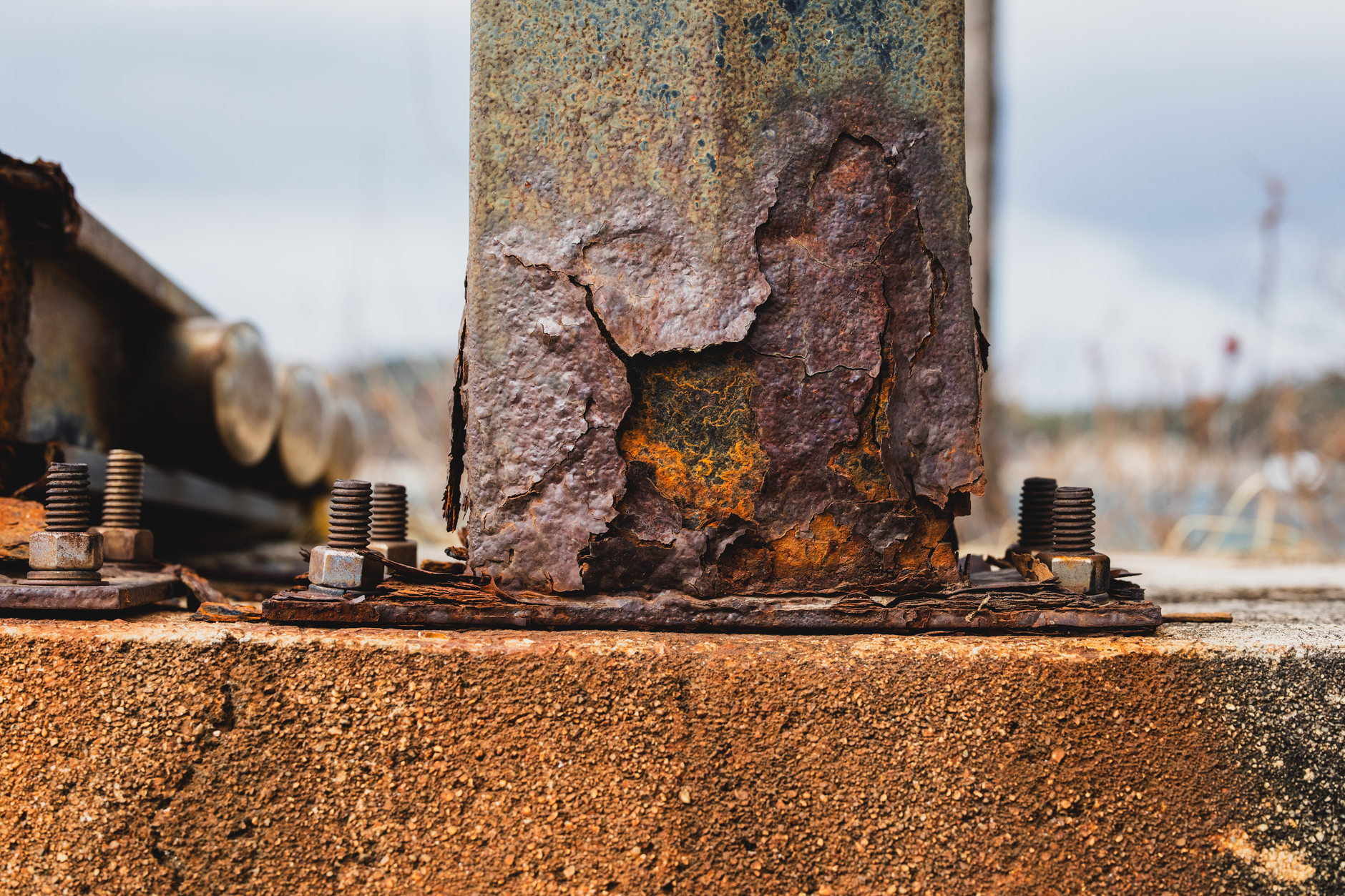
Start wide enough to show the bearing's location, orientation, girder, masonry plate, pedestal, and surrounding seat. Follow with orthogonal close views of moving surfaces, anchor bolts, nuts, welds, keeper plates, elastomer edges, and any path through which water or debris reaches the assembly.
Useful observations include corrosion, pack rust, section loss, displaced or distorted parts, cracked concrete, failed grout, loose connections, debris restriction, and movement inconsistent with the bearing type. Record ambient temperature and, when available, structure temperature because rotation, translation, and joint opening can change with thermal movement.
Do not infer a frozen or over-rotated bearing from one dramatic camera angle. Compare the view with plans, bearing orientation, previous records, temperature, and neighboring supports. FHWA's current National Bridge Inventory specifications illustrate why extent matters: eight of 20 bearings rotated beyond performance limits were treated as widespread major defects, while surface rust on all 20 freely moving bearings was treated as widespread minor deterioration.
What matters at an expansion joint?
Image the joint from above and below when access permits. Topside views reveal seal damage, debris, damaged armor, loose or missing hardware, and misalignment. Underside views trace leakage toward beam ends, bearings, backwalls, pier caps, and concrete seats, where chronic moisture can cause more consequential deterioration.
FHWA's Long-Term Bridge Performance protocol calls for documenting cracks, corrosion, pitting, section loss, misaligned plates, drainage-trough condition, leakage evidence, anchor-bolt condition, seal damage, debris, and defect locations. It also directs inspectors to compare current measurements with prior measurements and confirm that photographs agree with recorded values.
Joint opening should be photographed with a readable scale and tied to temperature and location. A single width without those facts is weak evidence. For long joints, record the beginning and end of each defect rather than applying one tag to the entire assembly. This preserves extent and makes the next comparison meaningful.
How should defects be tagged and retained?
A useful defect tag anchors an observation to the structure. A practical hierarchy is asset, span, support line, component, face, and local coordinate. The tag should follow the finding into the photo log, annotated drawing, model, work order, and later inspection so another reviewer can retrieve the original evidence without guessing.
Preserve original images alongside derivatives. Cropped, brightened, stitched, or annotated copies help reviewers, but they should never replace source files. Store capture time, device and lens settings, standoff, view direction, scale method, lighting, temperature, operator, and any loss of positioning data.
Automated image screening may flag apparent cracks, corrosion, displacement, or leakage, but its output is a review queue rather than an engineering conclusion. Shadows, staining, sealant lines, motion blur, and perspective can all resemble defects. Every flag needs a human disposition, including accepted, rejected, monitor, recapture, or escalate.
- Use one persistent ID for each bearing and joint segment.
- Link every close view to an overview image or annotated plan location.
- Record severity and extent separately from the defect description.
- Keep rejected automated detections for auditability and model-quality checks.
- Apply retention, access-control, and backup rules before field collection begins.
Where does engineer validation enter the workflow?
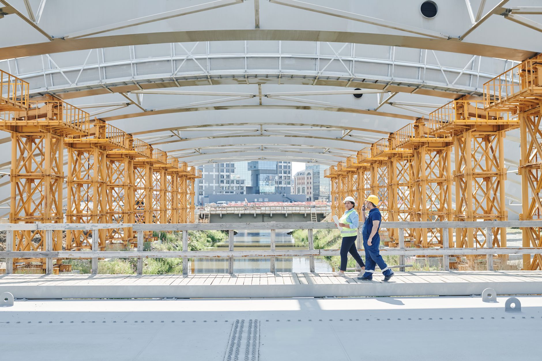
Engineer involvement should begin before deployment. The engineer defines the required views, minimum visible detail, scale method, temperature observations, and escalation triggers. During collection, an inspector can direct the operator toward ambiguous areas and request alternate lighting or angles while the platform is still in position.
After collection, the engineer reviews imagery in structural context, compares it with prior records, and decides which findings need hands-on access. Possible follow-up includes direct dimensional checks, cleaning, sounding, torque checks, nondestructive evaluation, movement monitoring, load-rating analysis, or repair design.
This boundary is crucial. FHWA explicitly states that a drone cannot replace physical techniques when concerning imagery demands tactile investigation. Robotic imaging reduces blind spots and helps concentrate scarce access time. It does not transfer professional judgment to a camera, pilot, crawler operator, or defect-detection algorithm.
Building a supportable inspection program
A useful program begins with a site assessment mapping exercise and a limited robot pilot program. Test representative bearings, joint types, low-light zones, tight clearances, and retrieval scenarios. Acceptance criteria should address coverage, image sharpness, readable scale, correct tagging, data delivery, and the engineer's ability to compare repeat visits.
Service Robot Co. acts as a vendor neutral robot integrator for US businesses. The company can select drone and crawler equipment across manufacturers, then handle robot financing, deployment, integration, training, and service through a nationwide US engineer network. That gives an owner one partner and one number across the equipment lifecycle.
Procurement may involve an inspection robot lease, purchase or lease, or a leasing structure. The commercial model should follow mission frequency, access risk, payload needs, and internal staffing. A commercial robot demo can prove image quality, but only a full field pilot proves repeatability, data handling, operator workflow, and recovery planning.
Serviceability belongs in the specification. Ask how remote triage, on-site dispatch, spare components, software support, calibration, batteries, crawler consumables, and operator refresher training will be handled. A crawlspace inspection robot or aerial platform that cannot be supported between inspection cycles becomes shelf equipment, not an inspection capability.